-40%
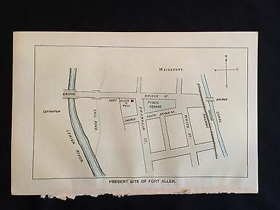
1896 color map Pennsylvania FRONTIER FORT ALLEN Lehigh CARBON County WEISSPORT
$ 7.91
- Description
- Size Guide
Description
TWO GORGEOUS 1896 full color Plates, one a full-page map, depicting the French and Indian War Frontier Fort known as FORT ALLEN in the wilderness of 1750s FRENCH AND INDIAN WAR CARBON COUNTY, Pennsylvania, in the town of WEISSPORT along the LEHIGH RIVER! The other full-colr plate depicts the layout of the Fort.inv# 6764
Perfect for framing, these historic 19th-century plates BEG to be hung with YOUR quality Pennsylvania or FRENCH & INDIAN WAR collection!
SEE PHOTO----- Two COMPLETE, ORIGINAL 1896 full-color plates, one a Full
-PAGE map, depicting FORT ALEN, in present-day WEISSPORT, PA.
These plates are accompanied by aproximately 35 pages of text related to the history of the fort and surrounding area. The plates measure approximately 9" X 6". It is from the 1896
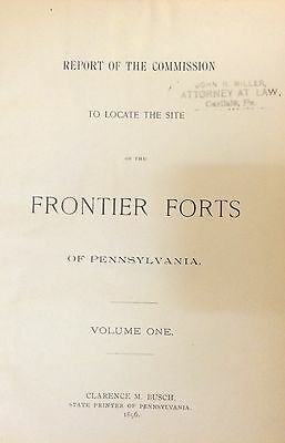
REPORT OF THE COMMISSION TO LOCATE THE SITE OF THE FRONTIER FORTS OF PENNSYLVANIA.


