-40%
1951 Official Map of Union County, New Jersey - Roads, Railroads, Photos, Lists
$ 3.16
- Description
- Size Guide
Description
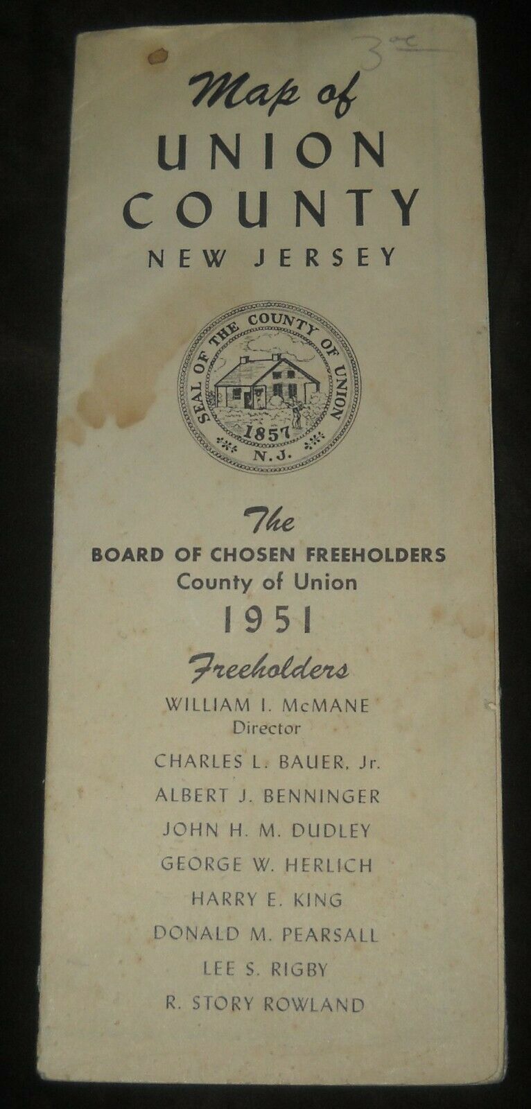
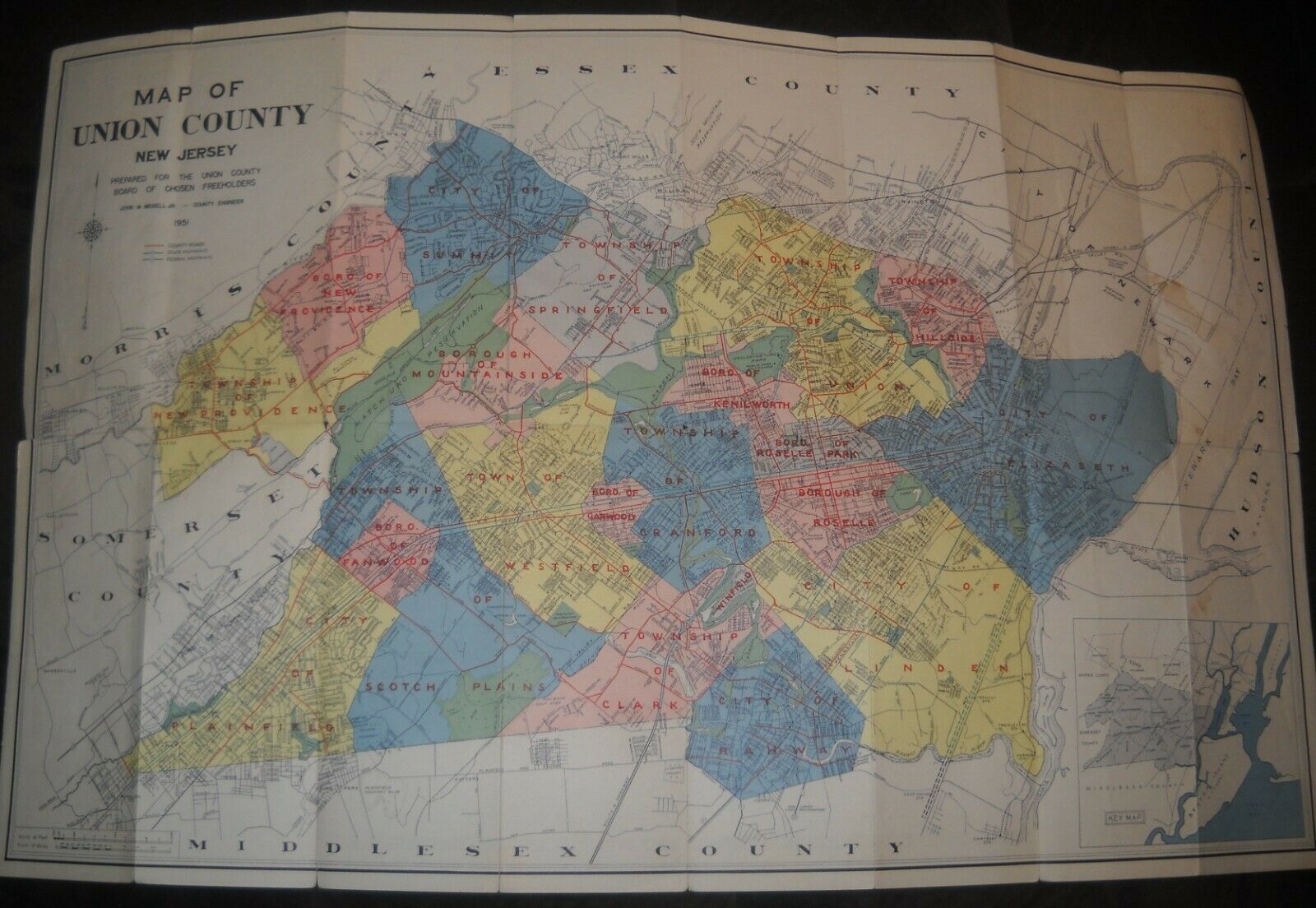
Official Map of Union County New Jersey, by the Board of Chosen Freeholders, 1951Color map shows streets, water features and railroads. Includes planned New Jersey Turnpike and Garden State Parkway.
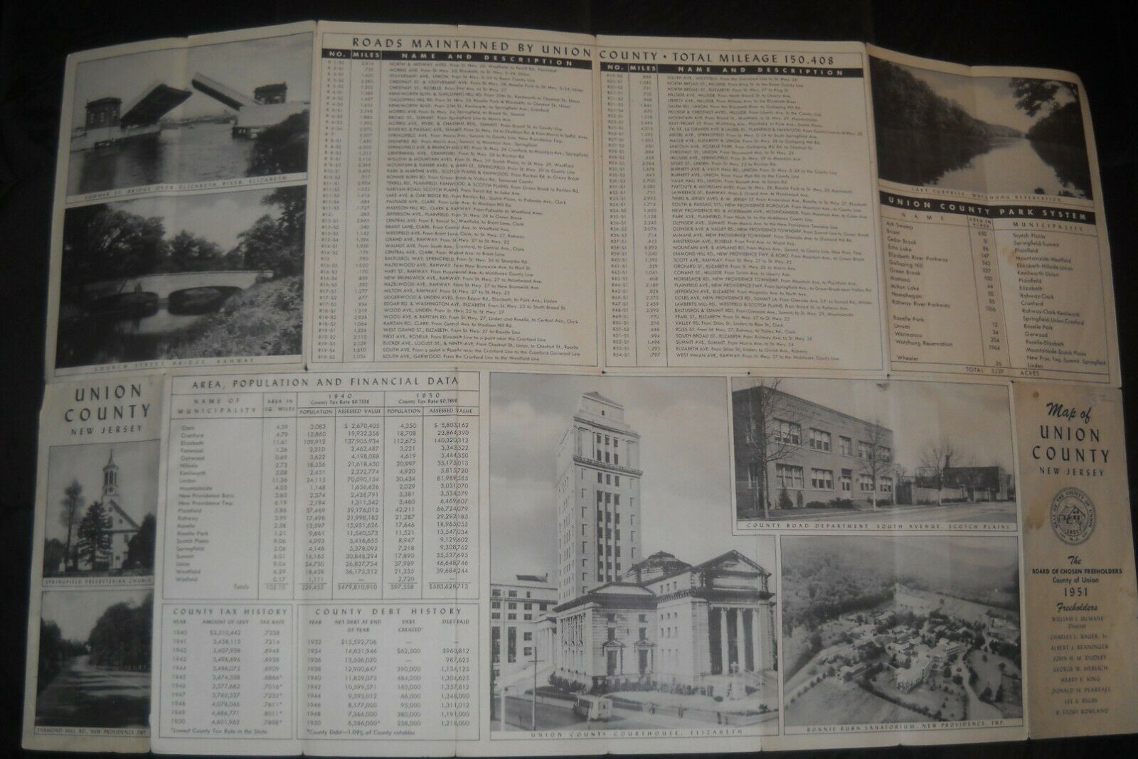
Reverse details all roads maintained by Union County, Union County Parks and Municipality Area, Population and Financial Data. Has photos of Union County Courthouse, Bonni Burn Sanatorium, Lake Surpise in Watchung Reservation, Springfield Presbyterian Church, Diamond Hill Road in New Providence, Summer Street Bridge in Elizabeth, Church Street Bridge in Rahway and County Road Department in Scotch Plains.
Condition is fair to good, with a stain on front cover and some small tears along some fold edges. Please inquire if you have any questions about item or condition!
