-40%
⫸ 1976-4 April Close up HAWAII National Geographic Map Making America 50th A1
$ 1.55
- Description
- Size Guide
Description
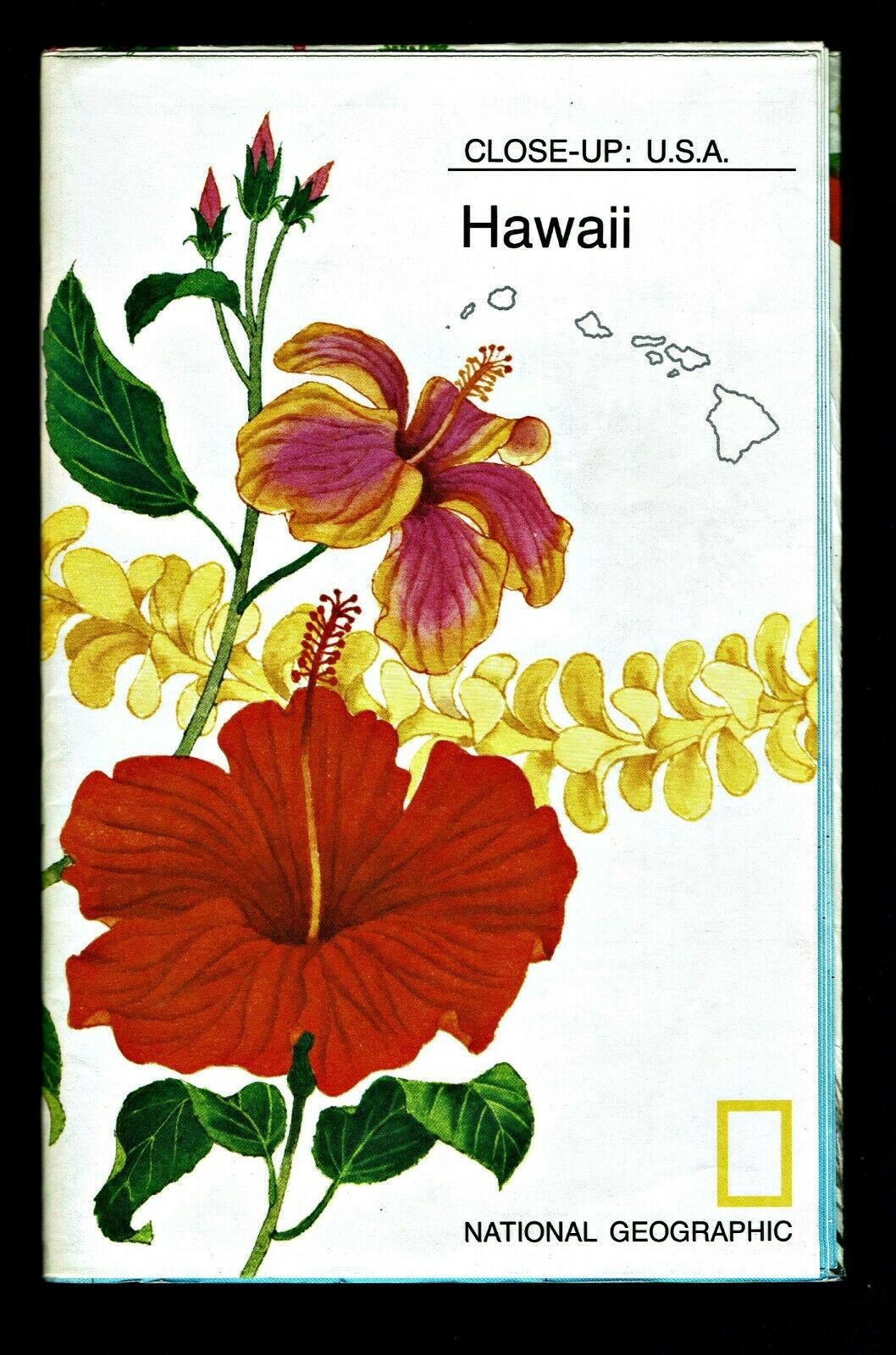
⫸1976-4 Close up: HAWAII – National Geographic Map Poster School
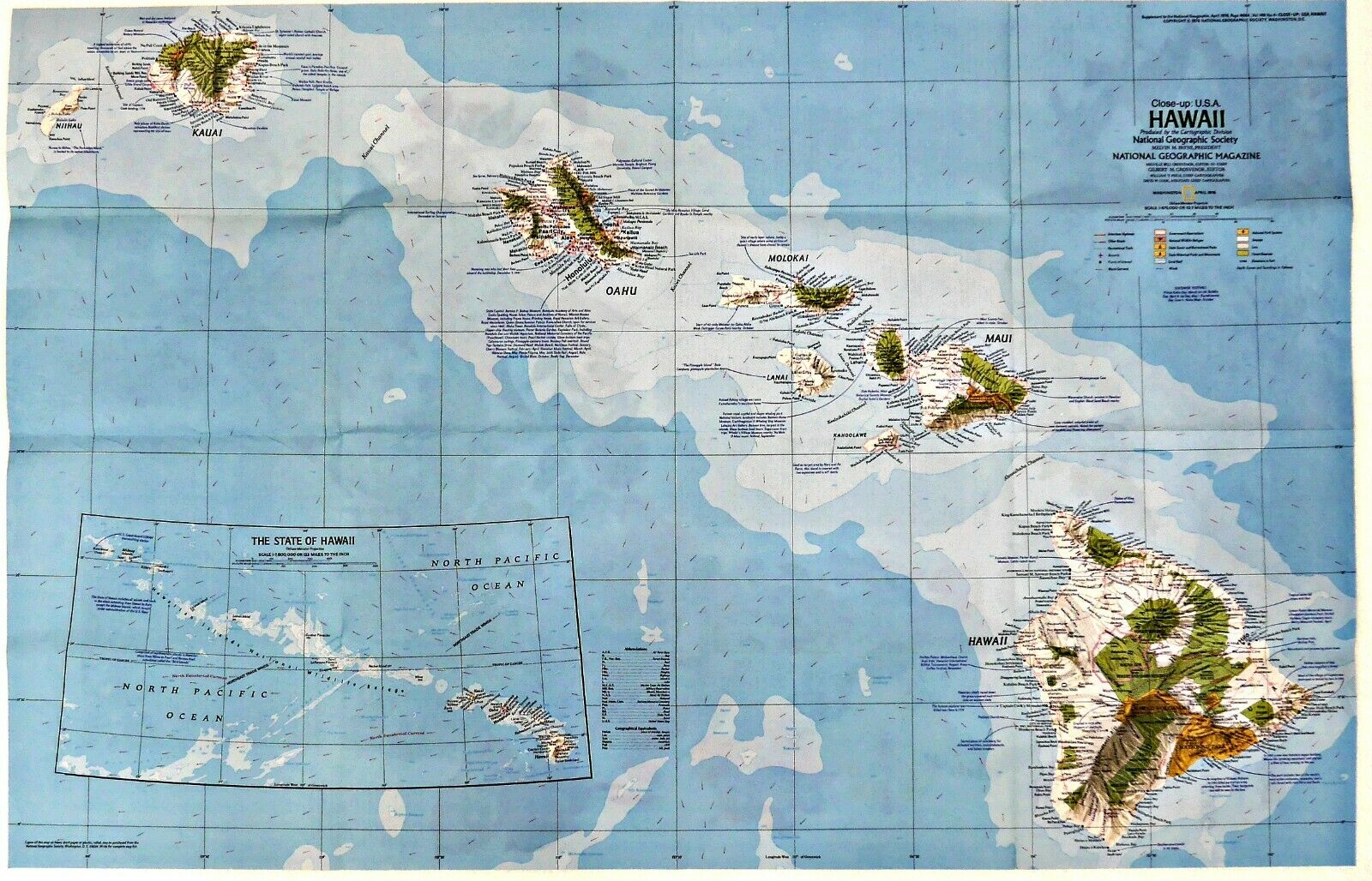
Close-up: USA – Hawaii. The map-side contains a detailed National Geographic map of our 50
th
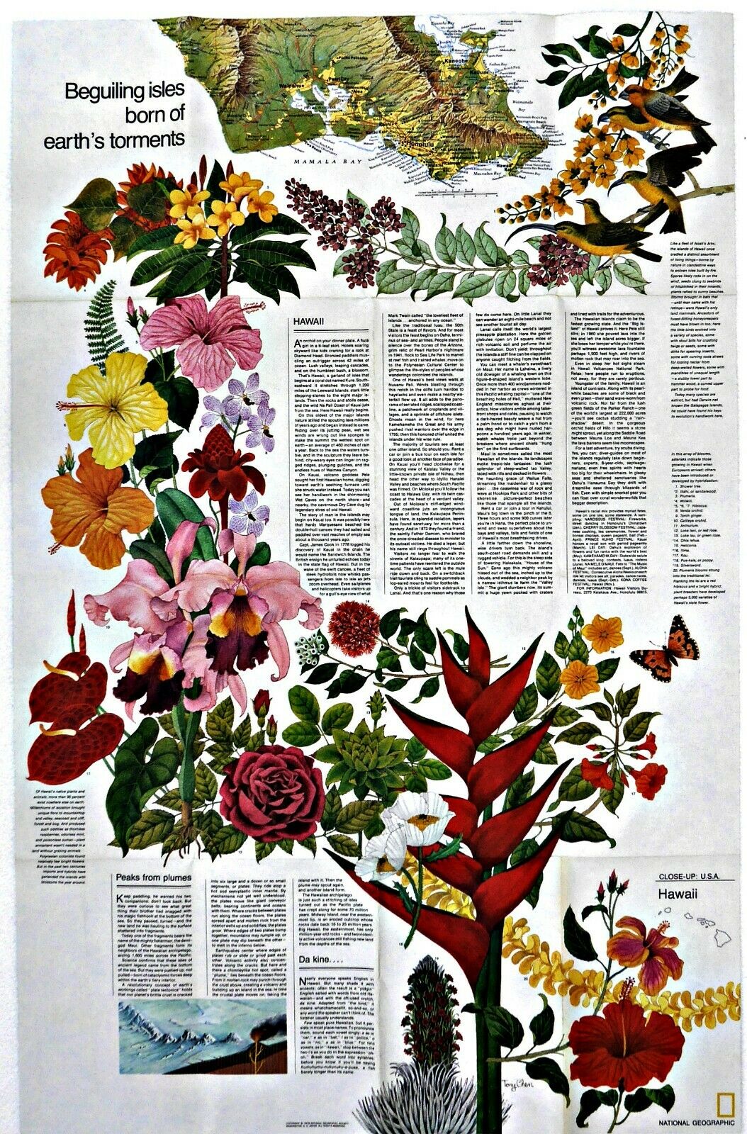
state, Hawaii, showing geographic features, wildlife preserves, interstates, National parks, points of interest and more. The reverse-side provides a synopsis of each state; it's features, a map inset of the greater Honolulu area, and points of interest for the traveler or those interested in learning.
Maps in the
Close-up: USA Series
are our:
1973-3 Washington, Oregon, Idaho, Montana, Wyoming;
1973-8 Wisconsin, Michigan, Great Lakes;
1973-11 Florida, Puerto Rico, Virgin Islands;
1974-3 North Dakota, South Dakota, Nebraska, Kansas, Minnesota, Iowa, Missouri;
1974-6 California, Nevada;
1974-10 Arkansas, Oklahoma, Louisiana, Texas;
1975-3 Maine, Maritime Provinces of Canada;
1975-6 Alaska;
1975-7 New Hampshire, Vermont, Massachusetts, Rhode Island, Connecticut;
1975-10 Tennessee, North Carolina, South Carolina, Georgia, Alabama, Mississippi;
1976-4 Hawaii;
1976-10 Maryland, Virginia, Delaware, West Virginia;
1977-2 Illinois, Indiana, Ohio, Kentucky;
1977-10 Arizona, New Mexico, Colorado, Utah;
1978-1 New York, New Jersey, Pennsylvania
Map is approximately 22” x 36”.
The National Geographic is known for it's fine maps & detailed information.
Supplement to the National Geographic Magazine; magazine is not included.
Always use your cart to obtain any discounts!
U.S. Shipping
- Please select:
1) USPS Mail Service or Media Mail (average delivery time) .50 for the first item and 50
¢ for each additional item.
2) USPS Package Service (faster delivery and with tracking) .00 for the first item and 50¢ for each additional item.
SAVE - MAP SALE - Select ANY 5 Maps - The lowest priced item is
FREE
- See eligible items above (top left).
x
x
x


