-40%
⫸ 1977-12 December COLONIZATION & TRADE IN NEW WORLD National Geographic Map A3
$ 3.56
- Description
- Size Guide
Description
⫸1977-12 COLONIZATION & TRADE IN NEW WORLD - National Geographic Map School
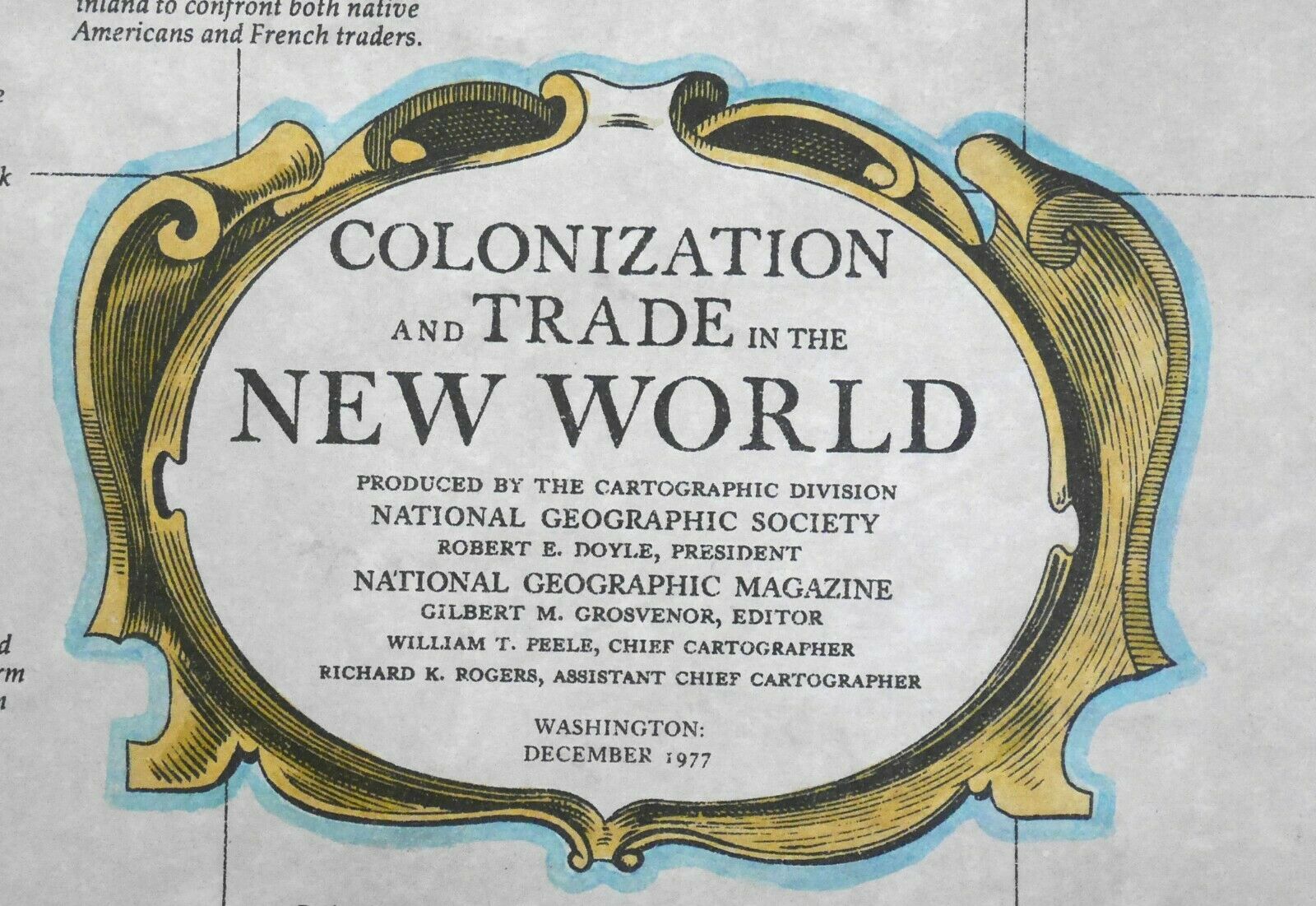
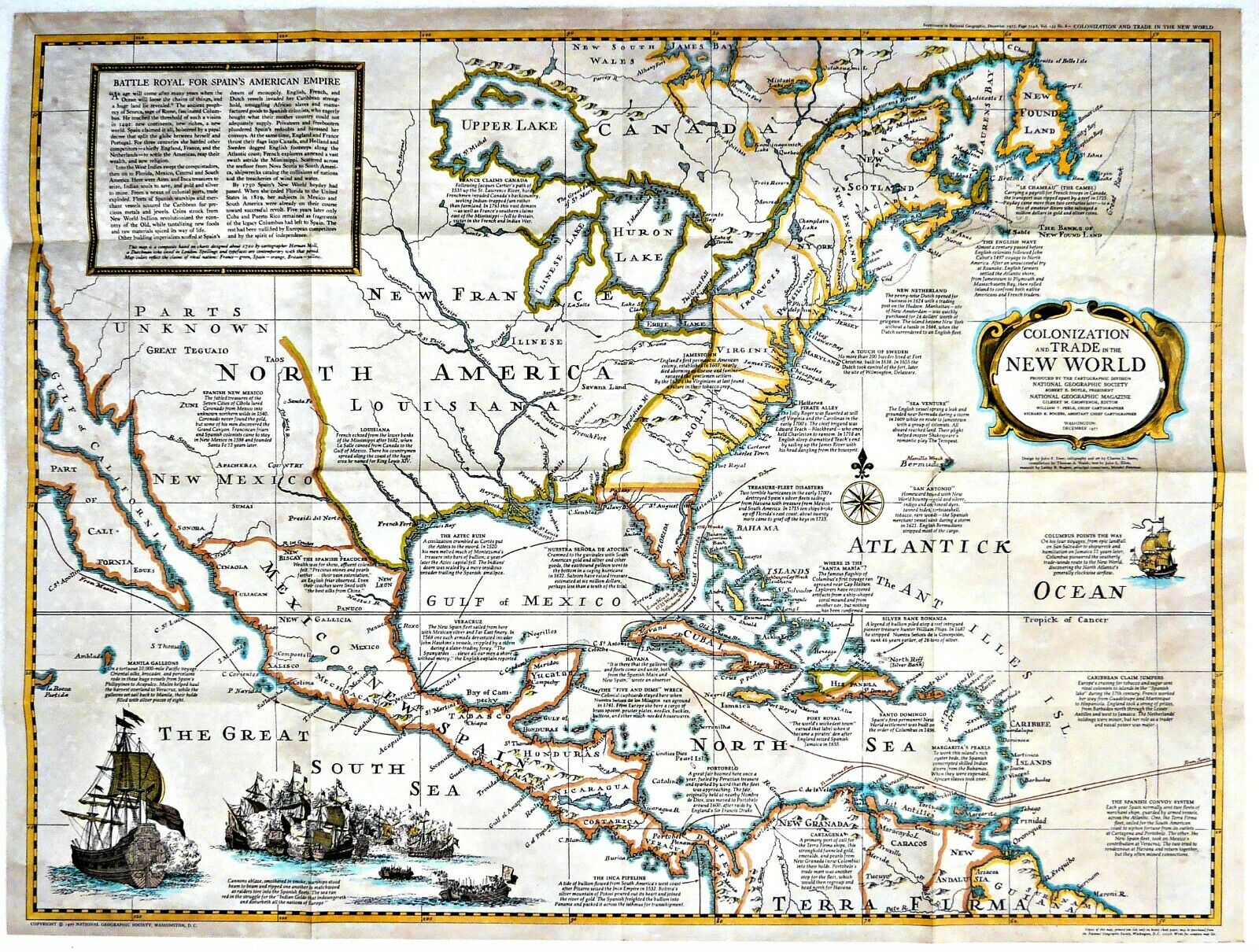
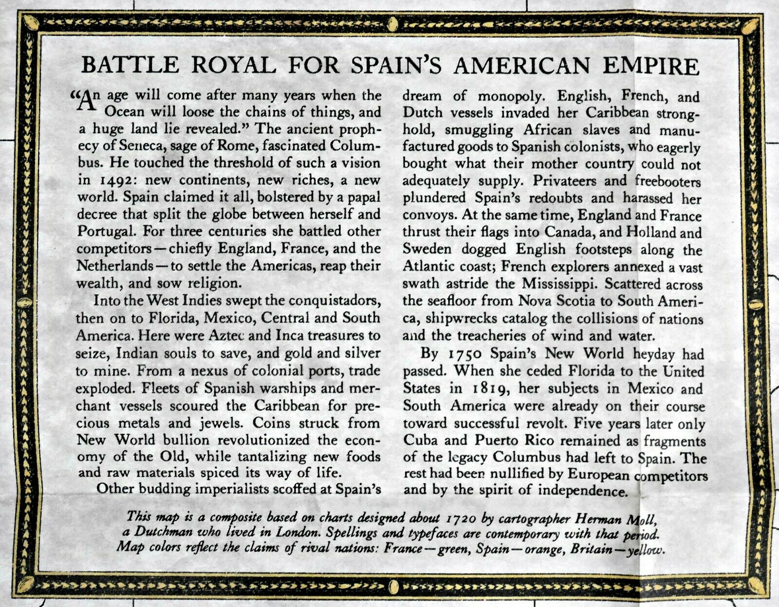
Printed in brown tones to make the paper look old, this very desirable map/study deals with the colonization and trade in the new world, from the early efforts by Spain and Portugal to divide the globe between themselves and the efforts of England, France, and the Netherlands to establish settlements and gain wealth. The front side of this map contains a composite of what was thought to be the New World based on charts from about 1720 and color-coded to reflect the claims of the various nations. There are many notations of historic events of that era.
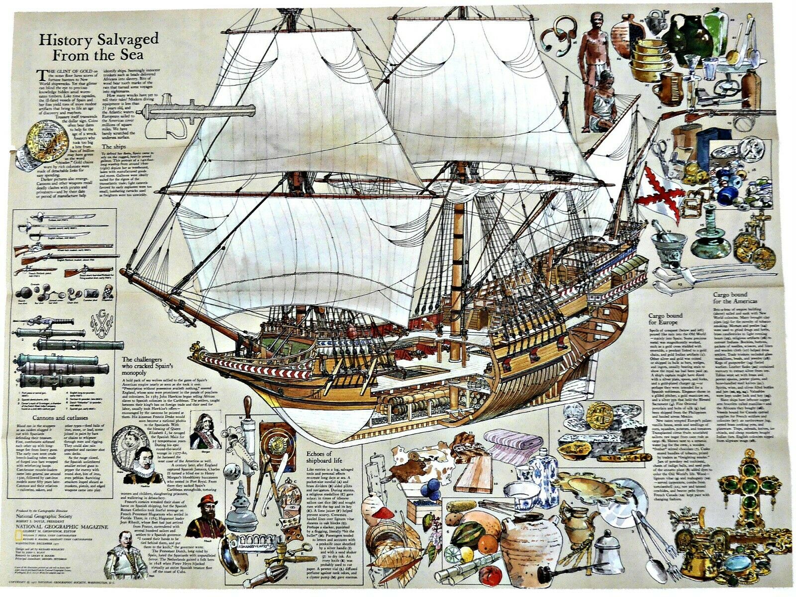
The reverse side contains an equally-informative study of the Galleons, the ships widely used for transatlantic travel. There is a cut-away of a typical Galleon, showing the construction and where the cargo and weaponry would be housed. There is a discussion of the cargo that was bound for Europe and another of the cargo bound for the Americas. In addition, there is a discussion and description of the weaponry (personal and otherwise) used in ship to ship combat and how each was utilized, plus other information regarding that period of history. One of the most informative National Geographic studies.
Measures approximately 22” x 30”.
The National Geographic is known for it's fine maps & detailed information.
Supplement to the National Geographic Magazine; magazine is not included.
Always use your cart to obtain any discounts!
U.S. Shipping
- Please select:
1) USPS Mail Service or Media Mail (average delivery time) .50 for the first item and 50
¢ for each additional item.
2) USPS Package Service (faster delivery and with tracking) .00 for the first item and 50¢ for each additional item.
SAVE - MAP SALE - Select ANY 5 Maps - The lowest priced item is
FREE
- See eligible items above (top left).
x
x
x


