-40%
⫸ 1984-1 January ALASKA Making of America – National Geographic Map School A3
$ 2.61
- Description
- Size Guide
Description
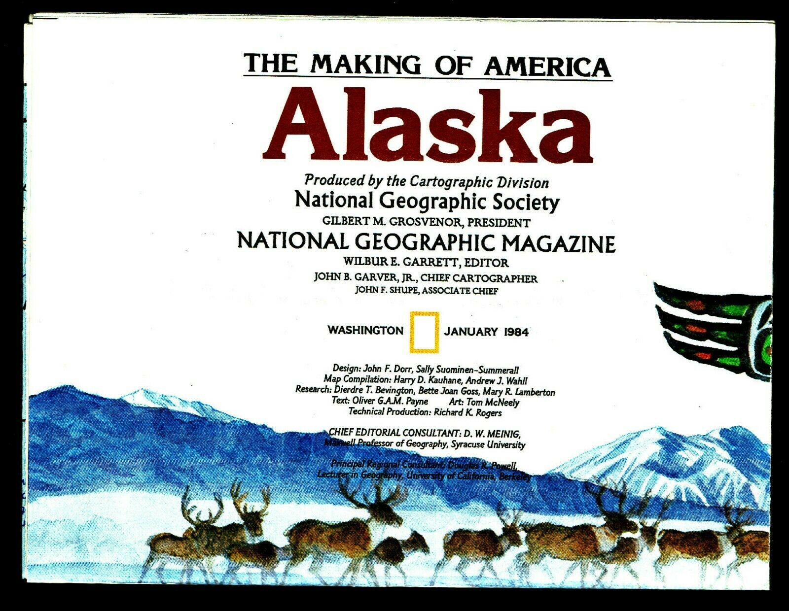
⫸1984-1 January ALASKA Making of America – National Geographic Map School
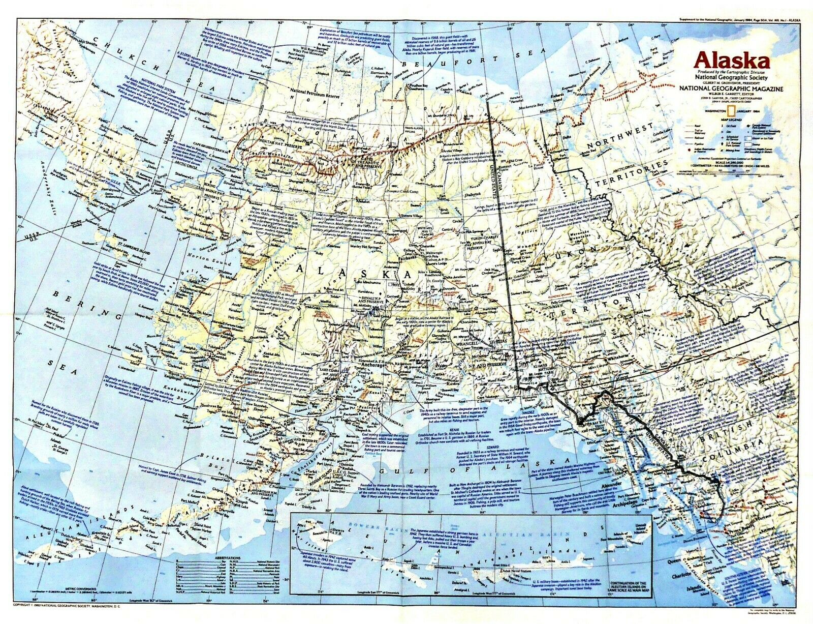
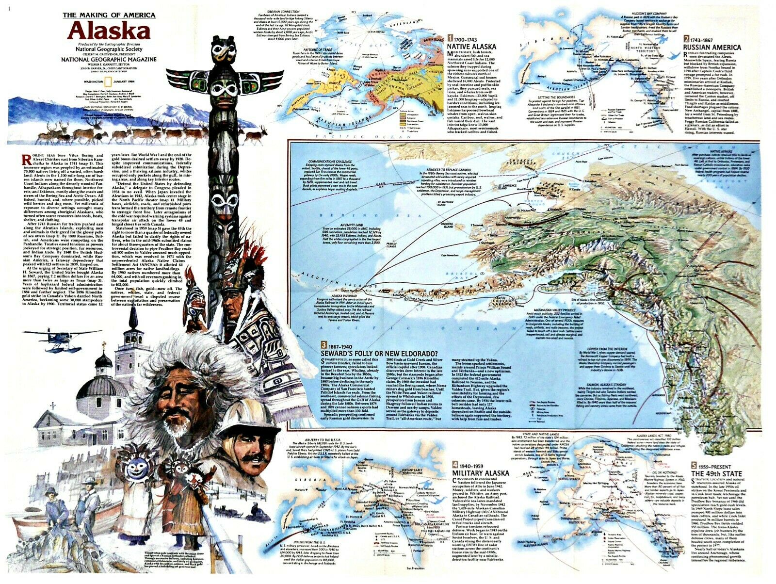
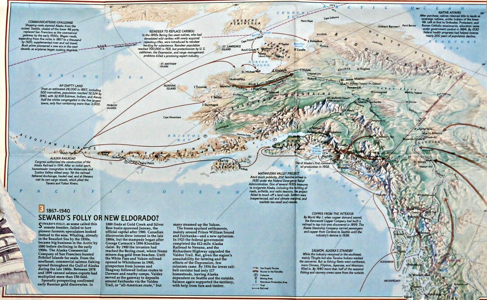
Contains detailed historical information about our 49
th
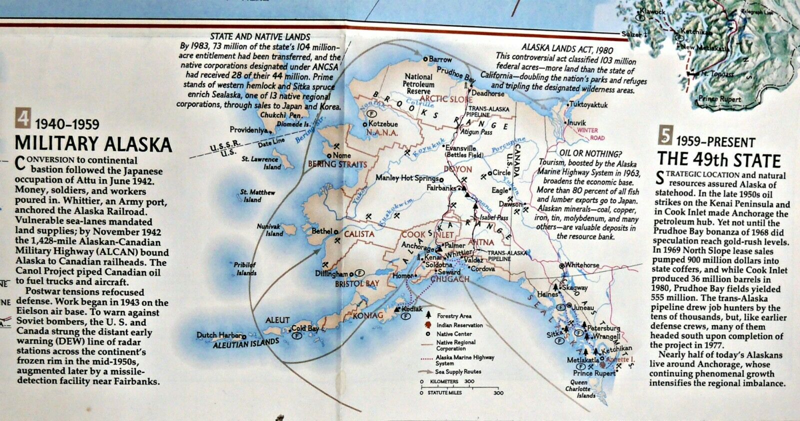
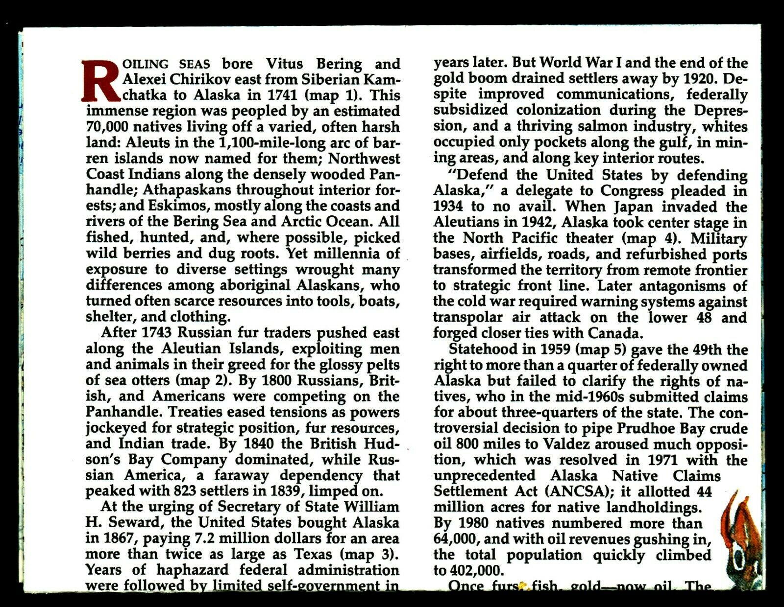
State; Alaska. The map-side contains short informative descriptions about historic events in various specific locations, while the reverse-side gives general information during various time periods: 1700-1743 Native Alaska; 1743-1867 Russian America; 1867-1940 Steward's Folly or New Eldorado; 1940-1959 Military Alaska; and 1940-Present 49
th
State. The map side also contains a map inset of Aleutian Islands.
Maps in the Making America series include: 1982-11 Southwest USA; 1983-3 Atlantic Gateways; 1983-8 Deep South; 1
983-11 Hawaii; 1984-1 Alaska; 1984-4 Far West; 1984-9 Central Rockies; 1985-2 Northern Approaches; 1985-9 Central Plains; 1985-12 Ohio Valley; 1986-3 Texas; 1986-8 Pacific Northwest; 1986-12 Northern Plains; 1987-2 New England; 1987-7 Great Lakes; 1987-11 West Indies;
1988-6 Tidewater & Environs.
Map is approximately 21" x 28".
