-40%
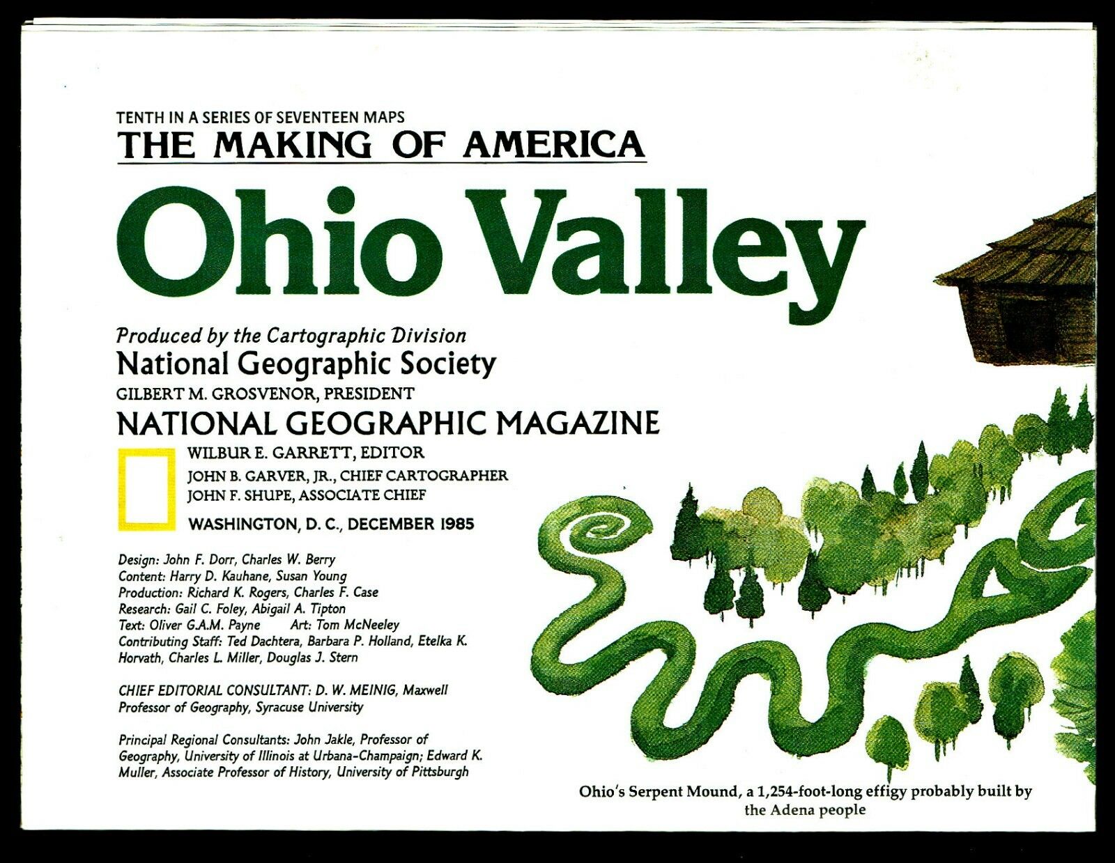
⫸ 1985-12 December OHIO VALLEY Making of America National Geographic Map A1
$ 1.2
- Description
- Size Guide
Description
⫸1985-12 Ohio Valley, Making of America – National Geographic Map Poster
Contains detailed historical information about the Ohio Valley States: Ohio, Indiana, Illinois, West Virginia, Tennessee, plus parts of surrounding states. The map-side contains detailed information about historic events in various locales, while the reverse-side gives general information during various time periods: 1000 BC-1760 Indians & Europeans; 1760-1815 Speculation & Colonization; 1815-1860 Transport Revolutions; 1860-1965 Region Rent Asunder (Civil War); 1865-1930 Further Divergence; 1930-Present A New Era. A great learning tool.
Maps in the Making America series include:
1982-11 Southwest USA; 1983-3 Atlantic Gateways; 1983-8 Deep South;
1983-11 Hawaii;
1984-1 Alaska; 1984-4 Far West; 1984-9 Central Rockies; 1985-2 Northern Approaches; 1985-9 Central Plains; 1985-12 Ohio Valley; 1986-3 Texas; 1986-8 Pacific Northwest; 1986-12 Northern Plains; 1987-2 New England; 1987-7 Great Lakes; 1987-11 West Indies;
1988-6 Tidewater & Environs.
Map is approximately 20" x 28".
The National Geographic is known for it's fine maps & detailed information.
Supplement to the National Geographic Magazine; magazine is not included.
Always use your cart to obtain any discounts!
U.S. Shipping
- Please select:
1) USPS Mail Service or Media Mail (average delivery time) .50 for the first item and 50
¢ for each additional item.
2) USPS Package Service (faster delivery and with tracking) .00 for the first item and 50¢ for each additional item.
SAVE - MAP SALE - Select ANY 5 Maps - The lowest priced item is
FREE
- See eligible items above (top left).
x
x
x


