-40%
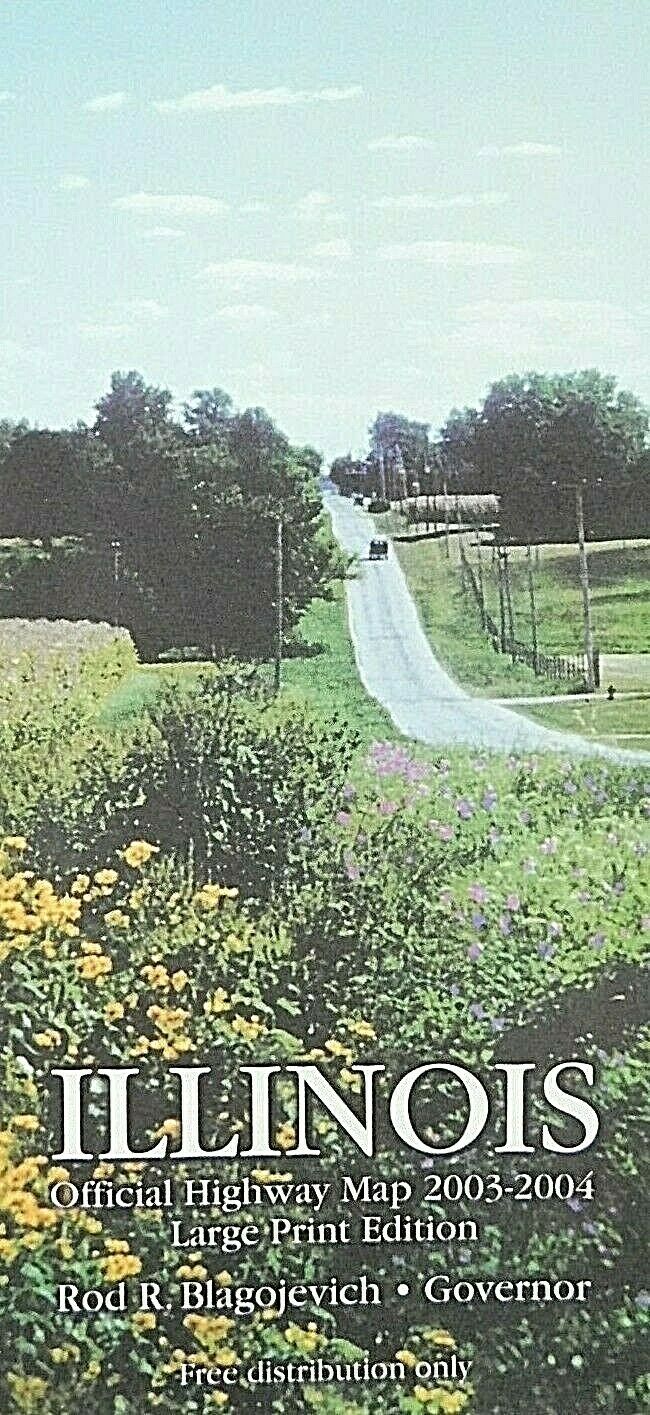
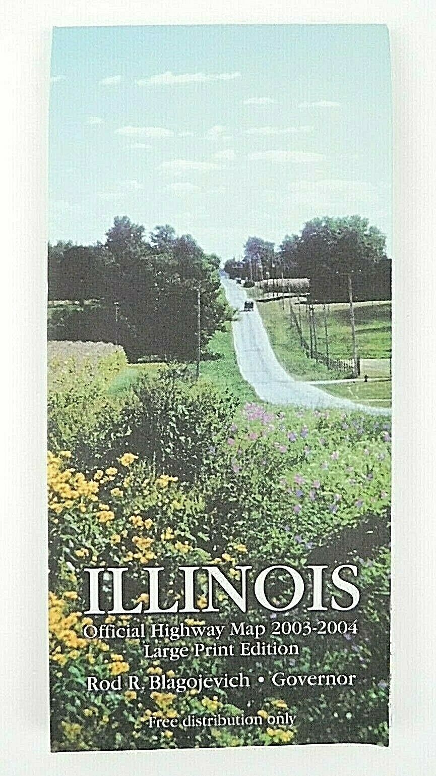
2003 2004 Illinois Official State Highway Travel Road Map Large Print
$ 4.21
- Description
- Size Guide
Description
2003 2004 Illinois Official State Highway Travel Road Map Large Print.Blue and white
2003 2004 Illinois Official State Highway Travel Road Map
The first Europeans to visit Illinois were the French explorers Louis Jolliet and Jacques Marquette in 1673, but the region was ceded to Britain after the French and Indian War. After the American Revolution, Illinois became a territory of the United States, and achieved statehood in 1818. Located on Lake Michigan, and connected to the eastern ports via the Erie Canal, Chicago became a booming metropolis, and even the fire of 1871 could not stunt its growth. In the second half of the 19th century the great need for workers in the mills, rail yards and slaughterhouses made Chicago a popular destination for immigrants and freed blacks. During Prohibition Chicago became synonymous with bootleg liquor and gangsters like Al Capone
The first road maps, by John Ogilby, in 1697. Ogilby was the first to use the statute mile. The orientation is on each section of the road. Towns may have a correct, and a common name
2003-2004 Edition
Large print
Illinois
Official Highway Travel Road Map
4 1/4'' x 9'' Closed
24 1/2'' x 36'' Opened
Scenic roads
Interstate highways
Road classifications
Smoke free home
Has some wear on crease folding lines
Free shipping
Preowned condition
