-40%
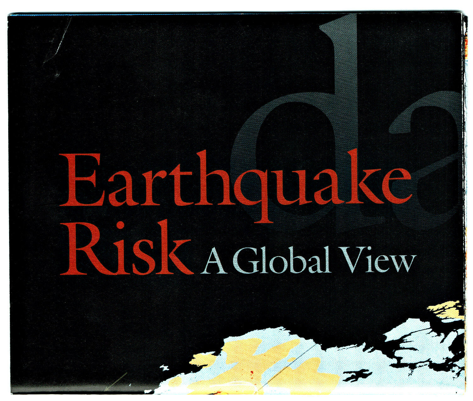
⫸ 2006-4 April EARTHQUAKES Living w/Risk Global View National Geographic Map A1
$ 1.55
- Description
- Size Guide
Description
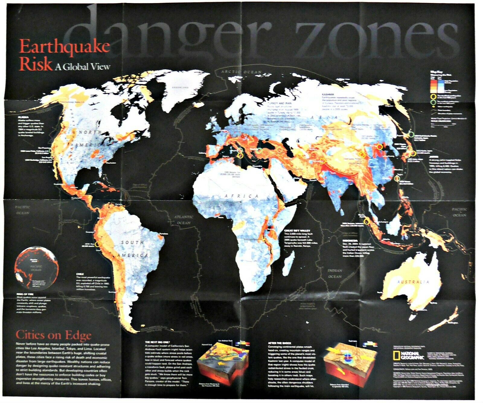
2006-4 EARTHQUAKES: Living with Risk Global View – National Geographic Map PosterNever before have so many people packed into quake-prone zones like Los Angeles, Istanbul, Tokyo, and Lima on boundaries of Earth's giant sliding tectonic plates, those cities risking death and economic disaster from earthquakes. The map-side of this study contains a world-map col;or-coded according to the risk of earthquakes. This side also contains a small study of the stresses along the San Andreas fault, plus how after a quake, stresses are re-distributed to other areas, some lessened and some increased. The reverse art-side titled :”Living with the Threat” displays the waves of destruction to a urban area, and contains a discussion of how buildings and structures can be designed using earthquake-resistant materials and techniques to lessen the damage during quakes.
Map is approximately 20" x 24".
The National Geographic is known for it's fine maps & detailed information.
Supplement to the National Geographic Magazine; magazine is not included.
Always use your cart to obtain any discounts!
U.S. Shipping
- Please select:
1) USPS Mail Service or Media Mail (average delivery time) .50 for the first item and 50
¢ for each additional item.
2) USPS Package Service (faster delivery and with tracking) .00 for the first item and 50¢ for each additional item.
SAVE - MAP SALE - Select ANY 5 Maps - The lowest priced item is
FREE
- See eligible items above (top left).


