-40%
⫸ 2007-5 May WORLD TRANSFORMED DISEASE JAMESTOWN INDIANS Nat'l Geographic Map A3
$ 1.84
- Description
- Size Guide
Description
⫸2007-5 A World Transformed by DISEASE Jamestown Native Americans – National Geographic Map
This is a very important study, often untold, of the side-effect of pre-1700 European immigration into the New World, and the
devastating
impact upon the
indigenous
peoples
from the European diseases brought by the colonists.
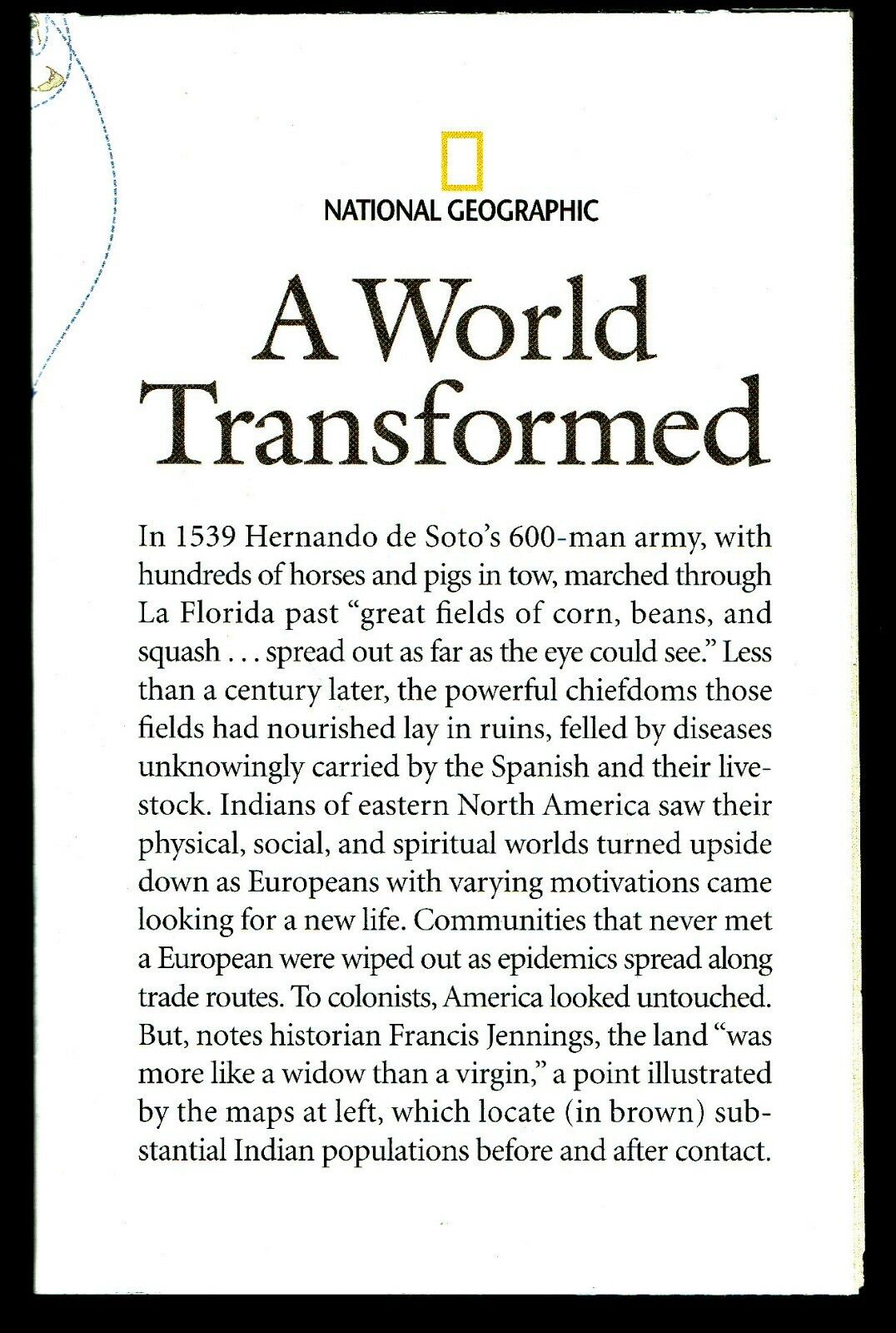
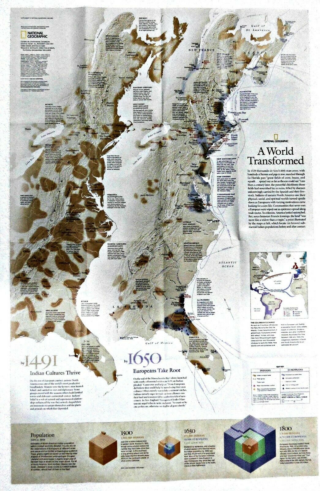
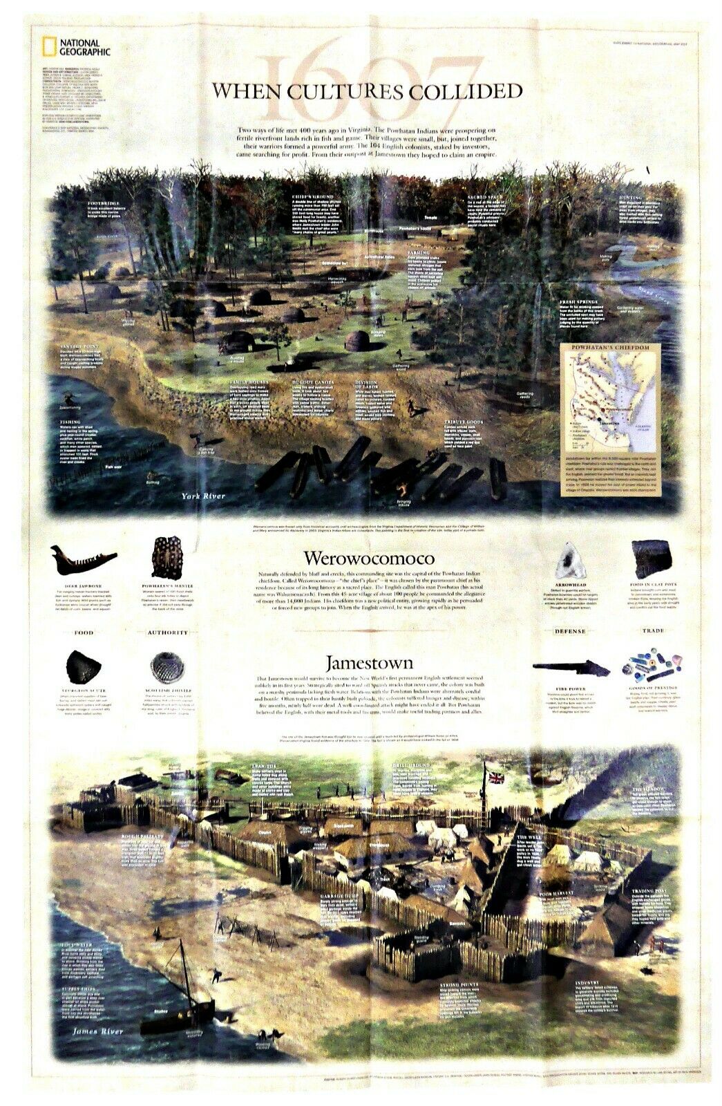
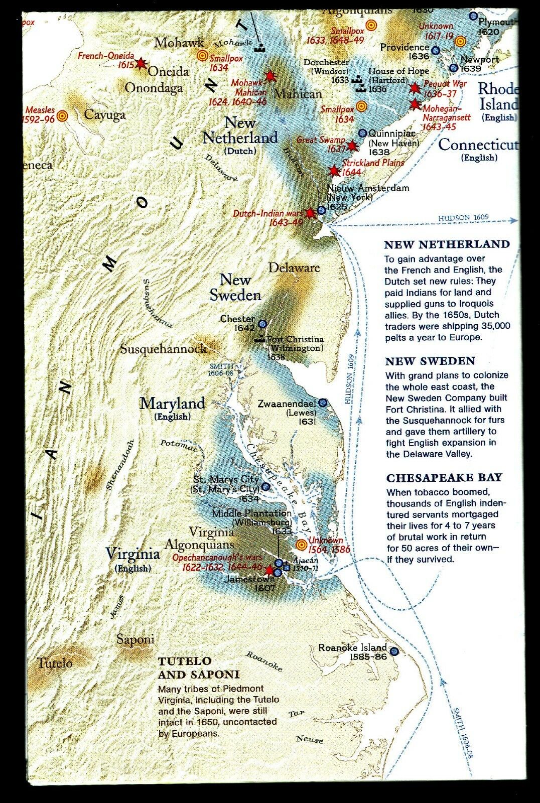
In 1539, Hernando de Soto's army marched past “great fields of corn, beans, and squash” spread as far as the eye could see. A century later, those fields lay in ruin. The indigenous peoples who tended them were felled by diseases carried by the Spanish and their livestock. All along the east coast, Indian populations were wiped out by diseases carried by Europeans. Not the romantic version of the colonist's contact with the Indians. The map-side of this sobering study shows a double map of the east coast of America, one dated 1491, and the other 1650, and shows the concentrations of Indian and Indian populations, trade routes, major conflicts, and forts. It is estimated that between those two dates, the indigenous populations in North and South America fell by 90%. The reverse art-side illustrates the two cultures; the Powhatan Indian village of Werowocomoco and the nearby European Jamestown, with a brief discussion of how they both lived, their implements, and early contact.
Map is approximately 20" x 31".
The National Geographic is known for it's fine maps & detailed information.
Supplement to the National Geographic Magazine; magazine is not included.
Always use your cart to obtain any discounts!
U.S. Shipping
- Please select:
1) USPS Mail Service or Media Mail (average delivery time) .50 for the first item and 50
¢ for each additional item.
2) USPS Package Service (faster delivery and with tracking) .00 for the first item and 50¢ for each additional item.
SAVE - MAP SALE - Select ANY 5 Maps - The lowest priced item is
FREE
- See eligible items above (top left).


