-40%
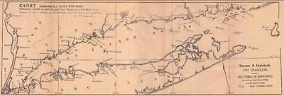
Antique 1895 nautical CHART Long Island Sound, CT, NY
$ 8.42
- Description
- Size Guide
Description
A REPRINT FROM A BYGONE ERA!PERFECT FOR FRAMING!
MAKES A GREAT GIFT!
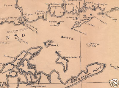
This is a reprint of a L. E. Daboll nautical chart of Long Island Sound published in the 1895 New England Almanac. It runs from Peekskill on the Hudson River (Tappan Sea) to New York to Block Island. It shows these areas: (most are identified by name) Nyack, Croton, Sing Sing, Tarrytown, Dobbs Ferry, Yonkers, Gardener's Bay, Green Point, Hunters Point, Astoria, Port Morris, Lawrence Point, Sanfords Point, Clausons Point, Flushing, Old Ferry Point, College Point, Talmans Point, Whitstone Point, Great Neck, Rodmans Neck, Hewlets Point, Hart Island, City Island, New Rochelle, Orienta Mamaroneck, Port Chester, Greenwich, Belle Haven, Coscob, Manhasset Neck, Roslyn, Glenwood, Glen Cove, Idle Wild, Matinicock, Saugatuck, Southport, Fairfield, Bridgeport, Stratford, Milford, West Haven, New Haven, Branford, Stoney Creek, Guilford, East River, Madison, Clinton, Westbrook, Saybrook, Lyme, New Haven, Oyster River, Stratford Point, Bridgeport, Fairfield, Greenwich, Manursing, Pelham Neck, Manhasset, Throgs Neck, Flushing Bay, Orient, Rocky Point, Shelter Island, Peconic Bay, Southold, Greenport, Mattituck, Friars Head, Port Jefferson, Stoney Brook, Northport, Cold Spring, Lloyd Neck, Glen Cove, Glenwood, Manhasset Neck, Flushing, Roslyn, Oyster Bay, all the light stations, and the Connecticut and Long Island Shorelines, all in great detail. The lettering is tiny but legible.
This is a reprint of an old nautical chart. Mat paper size is 11" by 17", image size is 5-1/2" by 16-1/2" looks great matted and framed.


