-40%
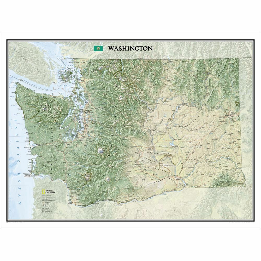
Clearance Washington WA Wall Map 40.5" x 30.2" Standard
$ 9.49
- Description
- Size Guide
Description
National Geographic Washington WA Wall Map 40.5" x 30.2" Standard RE01020414Explore the forested islands of Puget Sound, the snow-capped Cascades, and the agricultural basins fed by the Columbia and Snake rivers with National Geographic’s wall map of Washington. Part of the growing series of State Wall Maps, this map offers a dramatic visualization of the Evergreen State’s physical geography. Stunning shaded relief and vibrant colorization depicts mountain ranges, forests, valleys, and other physical topography.
In addition to the geographical features such as mountain ranges, prominent peaks, islands, major lakes, rivers, and reservoirs, this map includes the location of cities, towns, airports, national and state parks, and military bases. The Pacific Crest Trail, a long-distance hiking and equestrian trail to runs through the entire state from the border with Canada into Oregon, is shown as well.
Product Features:
Scale:
1:652,174
Size: 40.5" x 30.2"
TIP 1:
For lower prices on our rolled wall maps, check out our promotions (click the link above the picture). Here is the info: Purchase 2 and get 10% off, 3 or more will get you 15% off! This promo includes ALL of our rolled wall maps. For example, purchase 1 National Geographic Alaska wall map, 1 Colorado wall map, and 1 Oregon wall map (total of 3) and get 15% off!! Just put everything in your shopping cart and you will see the savings!
TIP 2:
We have a huge selection and great prices on our map products! Click here to go to our store, click on the store category called Maps & Books, then browse our sub-categories, or use the Store search tool to find items quickly.
Requirements:
None.
You will receive:
One National Geographic Washington Wall Map
40.5" x 30.2"
.
Shipped in a Cardboard Tube. Shipping weight 2 lbs.
If you have any questions or concerns, please contact us before or after the sale - we want you to be a happy customer!
Thanks for looking!


