-40%
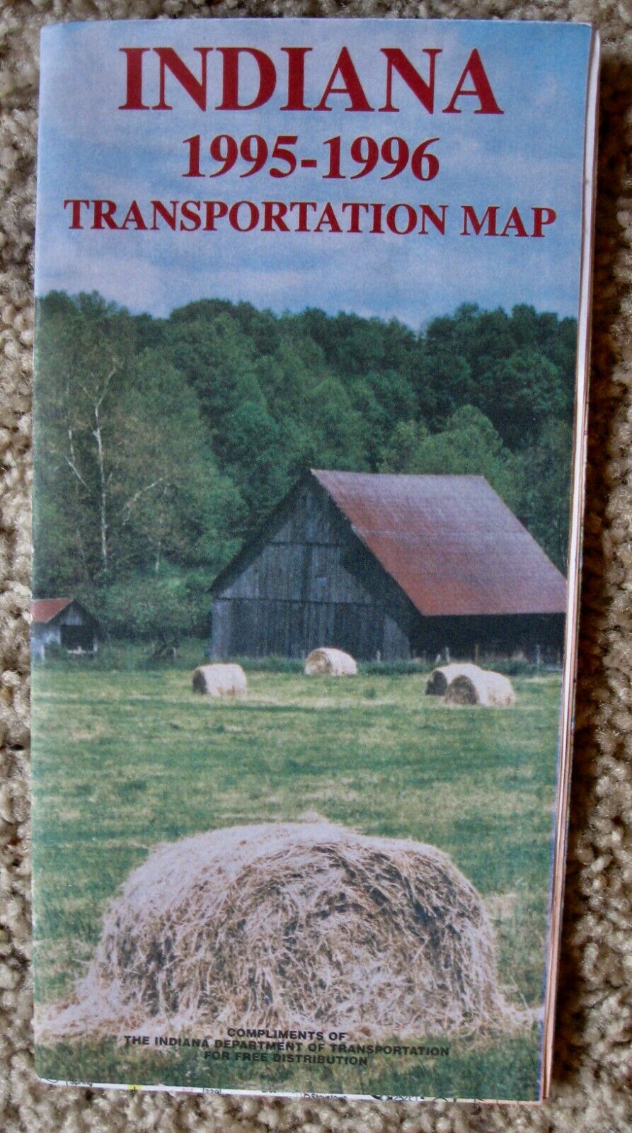
NOS Vintage 1995-96 INDIANA State Highway & Transportation Map w/Insets Towns
$ 5.27
- Description
- Size Guide
Description
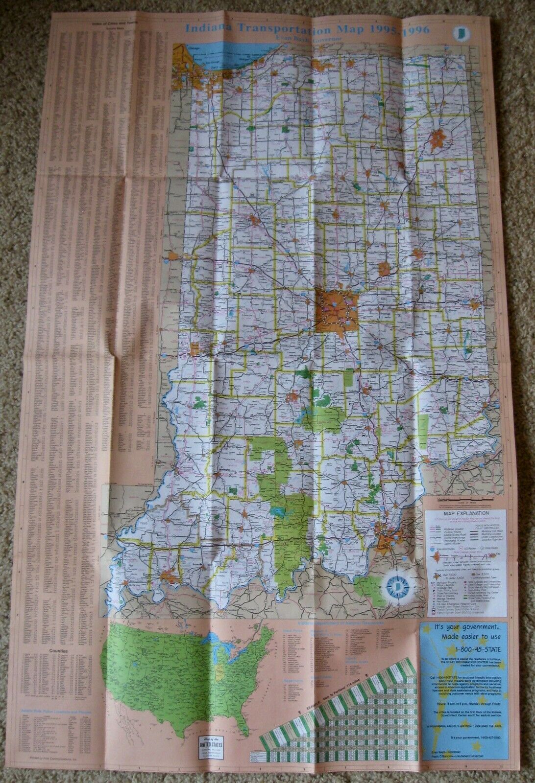
NOS (New Old Stock) Vintage 1995-96 INDIANA State Highway & Transportation Map with Insets of Towns1995-96 Indiana Transportation Map
Department of Transportation Official Highway Map
Map measures approximately 36 3/4" x 22 3/4"
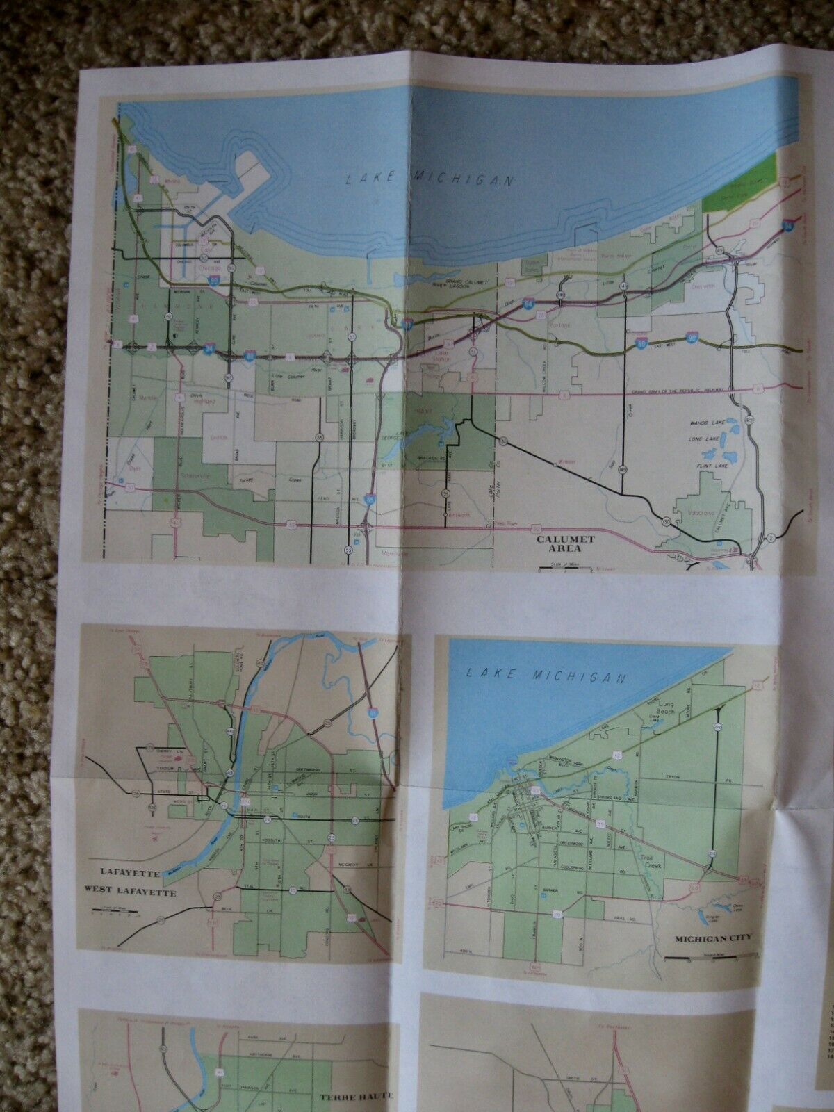
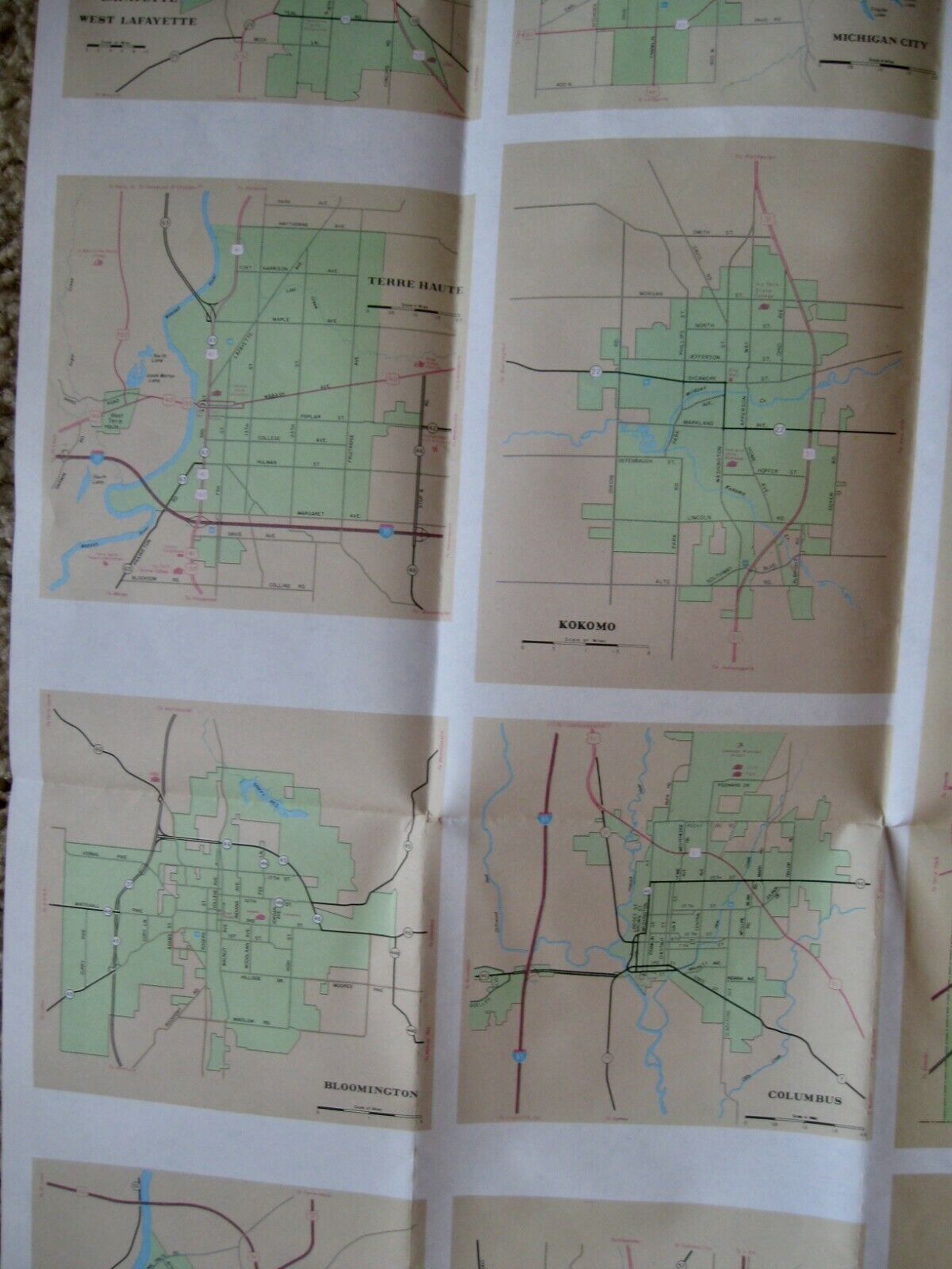
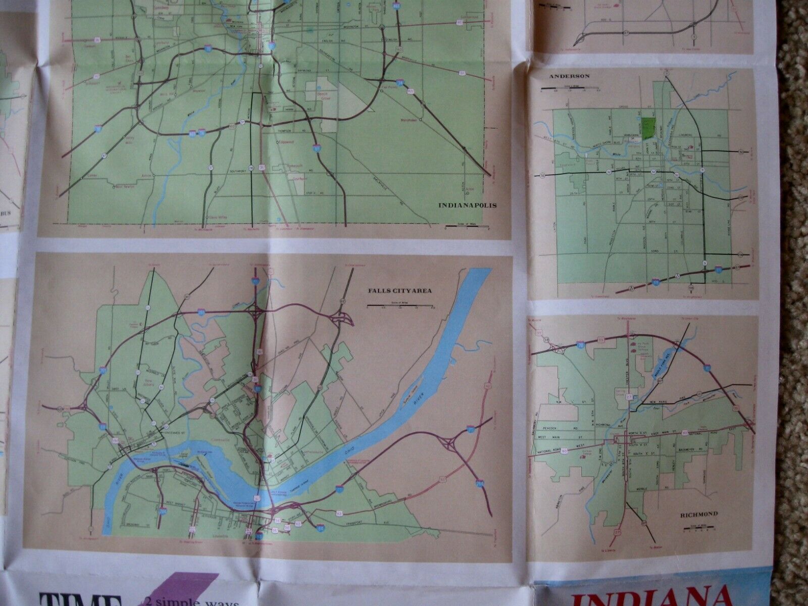
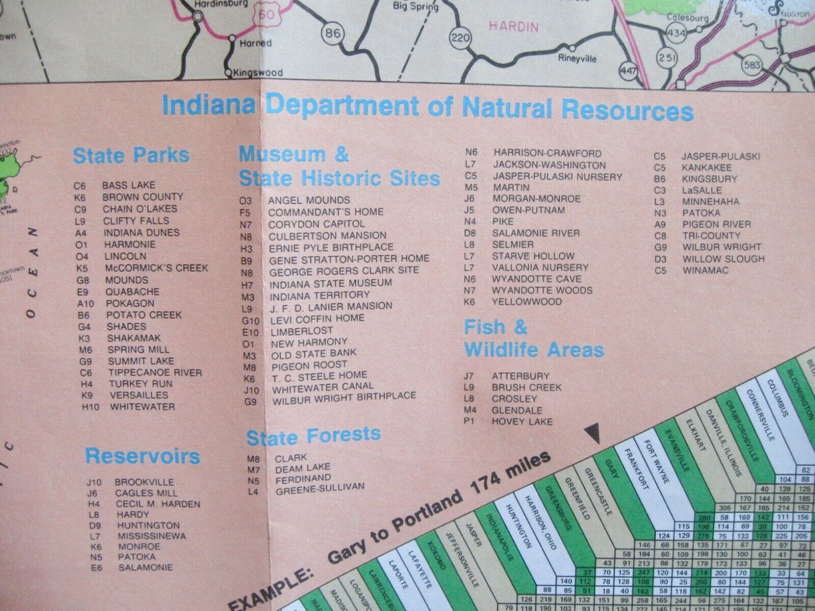
Insets include:
Map Index of Cities & Towns
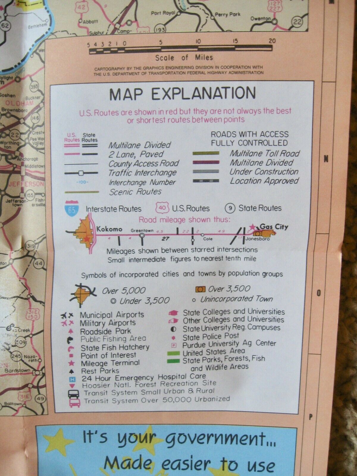
Map Explanation
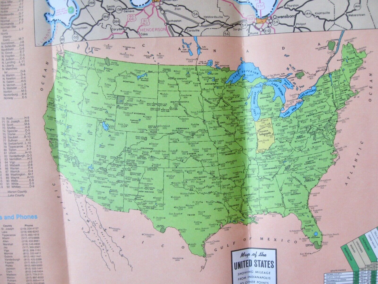
Mileage Table
Indiana Department of Natural Resources
Insets:
Calumet Area
North Bend, Mishawaka & Elkhart
Downtown Indianapolis
Lafayette & West Lafayette
Michigan City
Fort Wayne
Terre Haute
Kokomo
Bloomington
Columbus
Vincennes
Evansville
Indianapolis
Falls City Area
Muncie
Anderson
Richmond
Comes from non smoking pet free home. Please email me with any questions.
