-40%
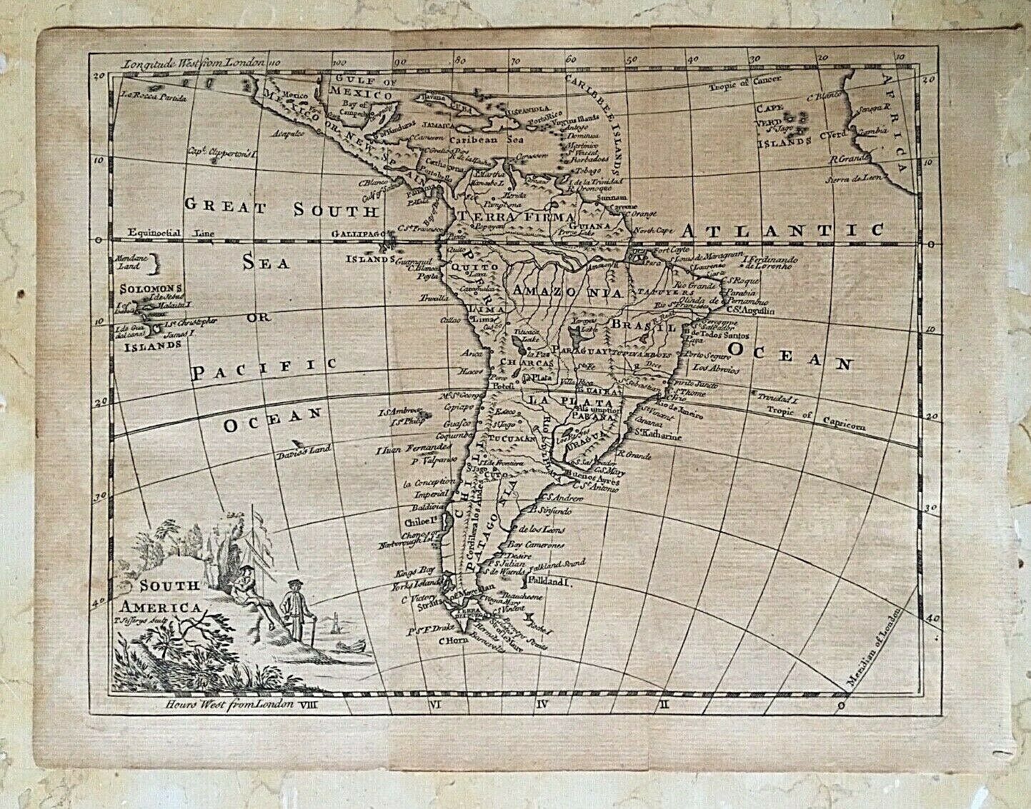
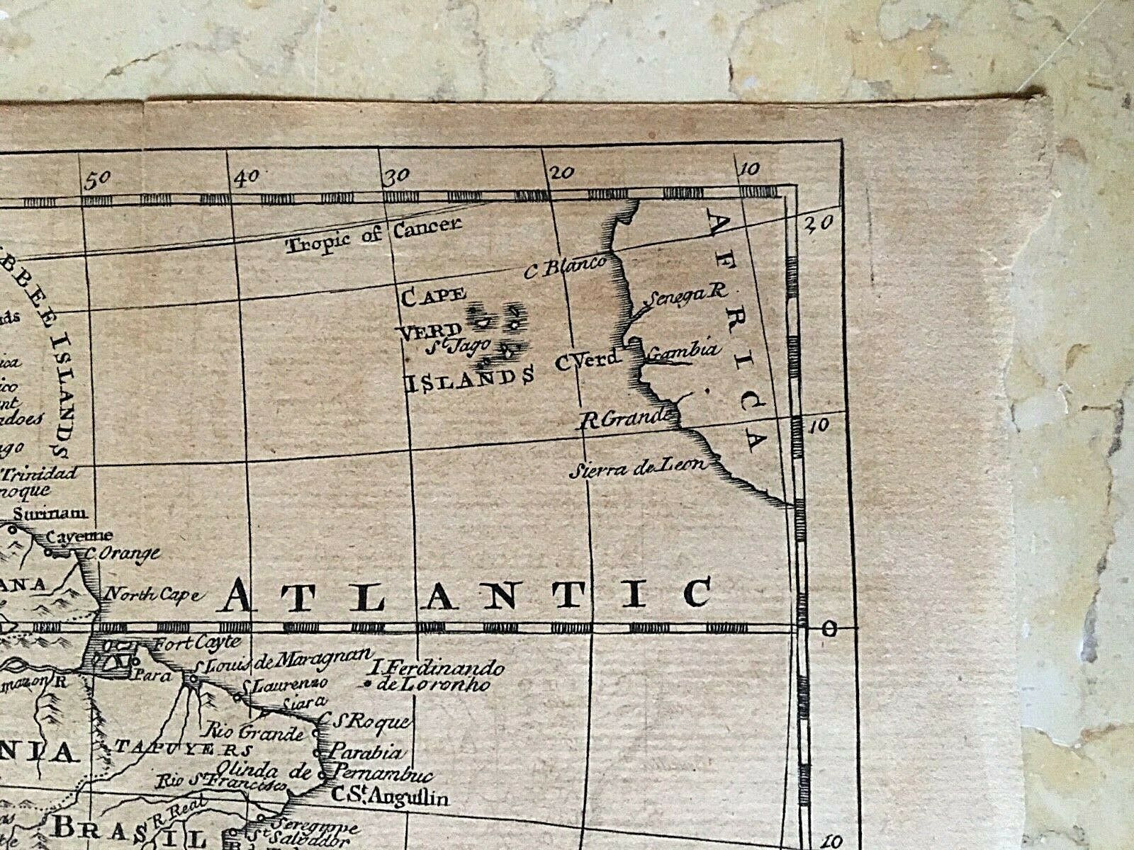
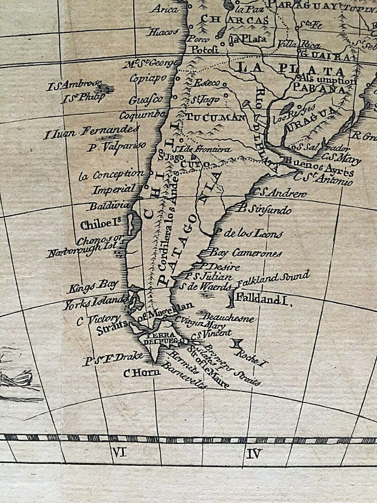
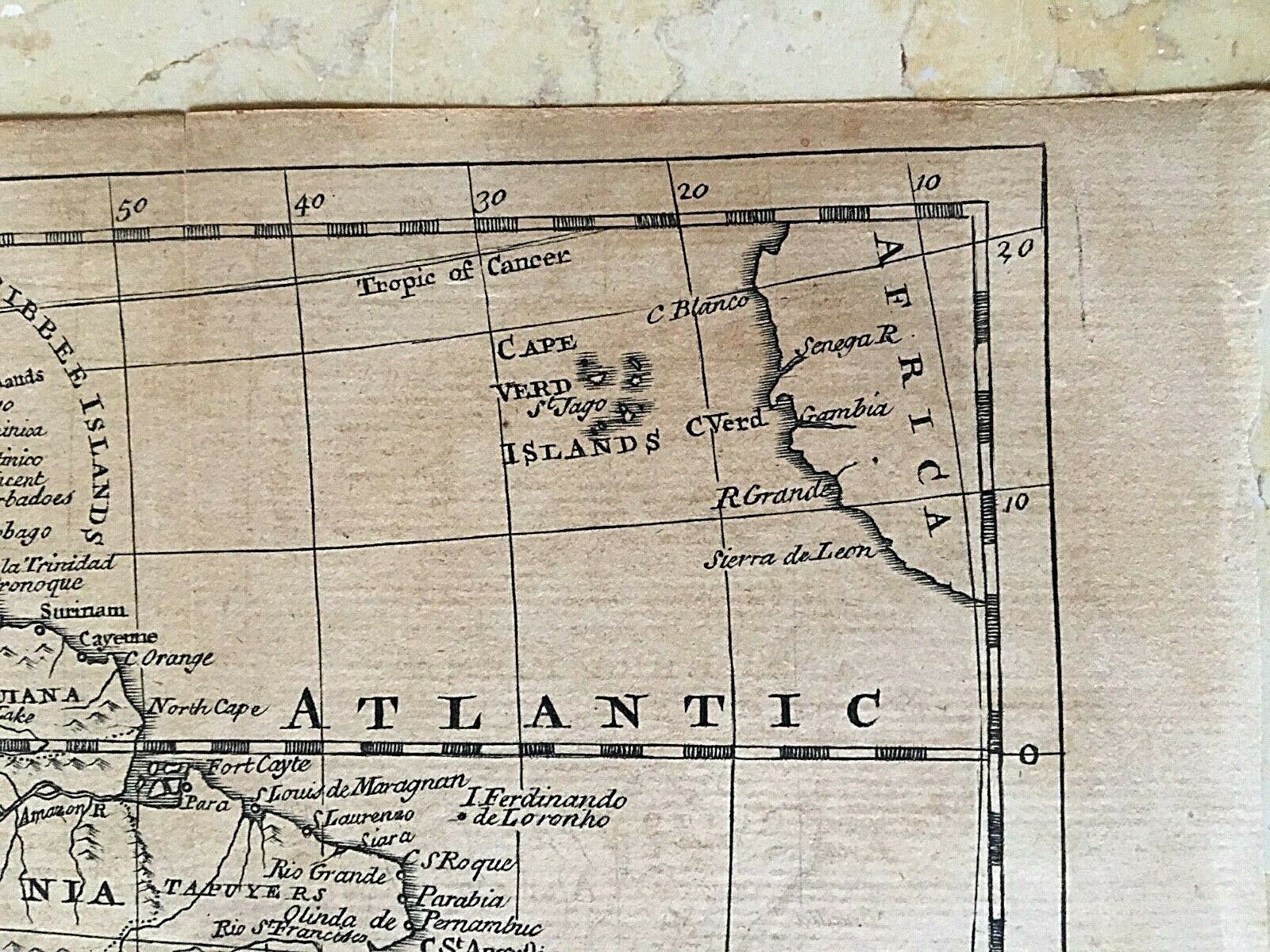
ORIGINAL - SOUTH AMERICA by THOMAS JEFFERYS MAP c1760 ( PRE UNITED STATES )
$ 19.53
- Description
- Size Guide
Description
ORIGINAL - SOUTH AMERICA by * THOMAS JEFFERYS c1760 ATLAS MAPTitle: SOUTH AMERICA by * THOMAS JEFFERYS o
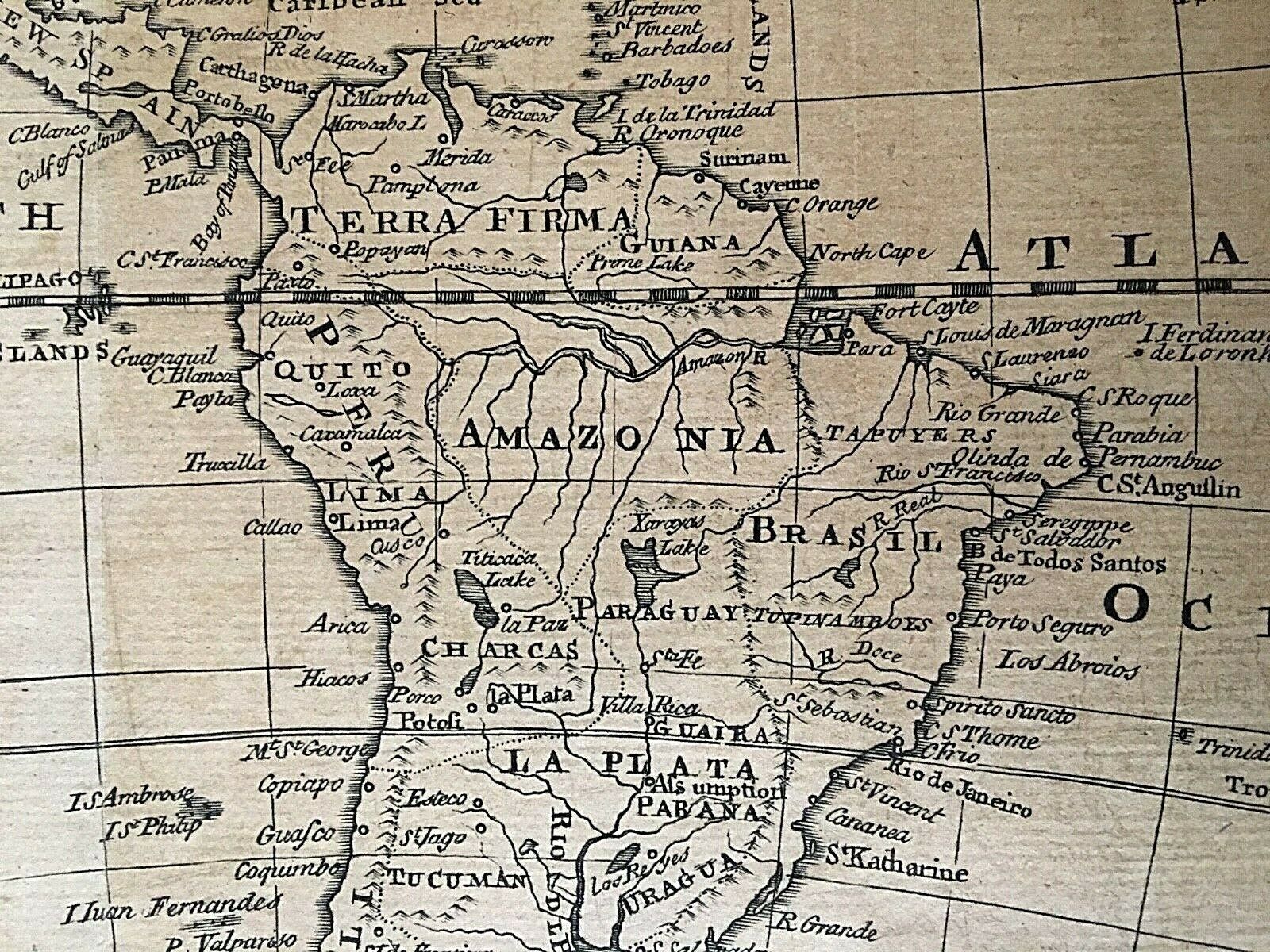
Detailed 18th Century atlas leaf map of South America also showing a large part Mexico, the Caribbean, part of Africa and the South Pacific Islands.
Published and printed: c1760
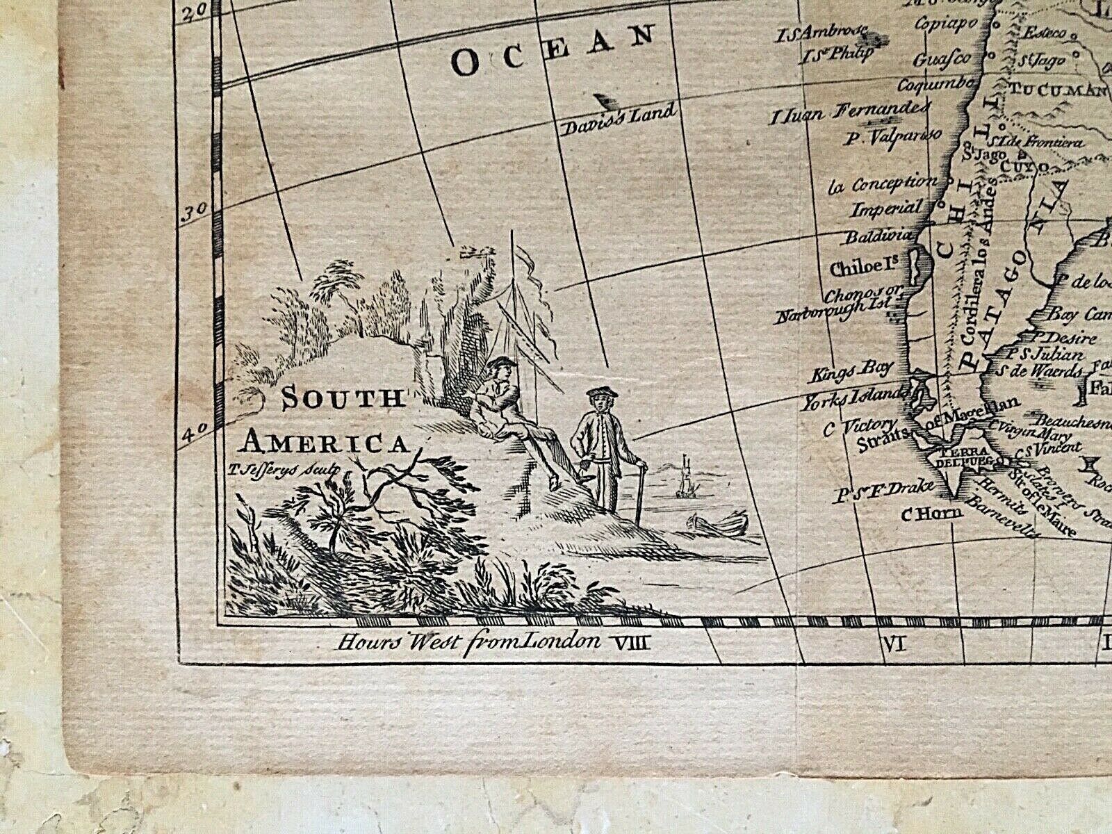
Cartographer: * JEFFREYS, Thomas
Medium weight cream white laid bond.
Copperplate engraved.
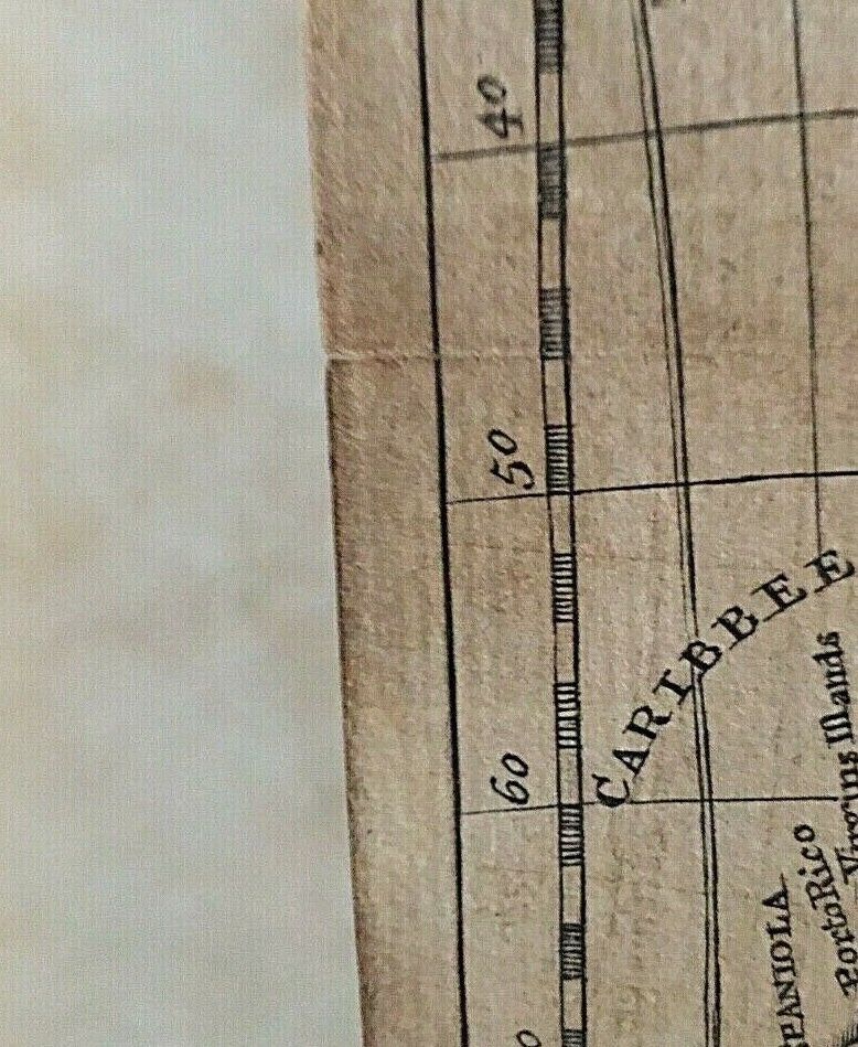
Condition: Fine with one vertical fold line from the atlas from which it came. Very light wear around the edges consistent with its about 260 + years. The front right edge retains its torn edge from its original atlas binding.
This map has a real nice old world look and would great framed!
Dimensions (outside paper) : 7 15/16" x 10 5/8"
Will be shipped flat in a clear hard plastic top loader.
* Thomas Jefferys (
b.1719-d.1771)
Leading cartographer who made important contributions to the mapping of England, North America and the Caribbean; also produced, published and sold prints. Born in Birmingham, but moved early to London where he opened his own business after having been an apprentice for other cartographer.
PLEASE SEE MY 100% POSITIVE FEEDBACK AND BUY WITH CONFIDENCE
.
