-40%
Rand Mcnally USA Road Atlas 2022 BEST 35% Larger Scale Travel Maps United States
$ 7.67
- Description
- Size Guide
Description
30 Days Return PolicyFast Delivery
Trusted seller
Rand Mcnally USA Road Atlas 2022 BEST 35% Larger Scale Travel Maps United States
Product Description
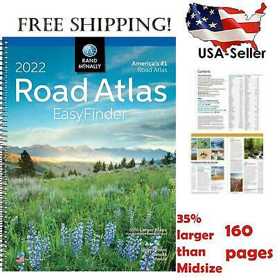
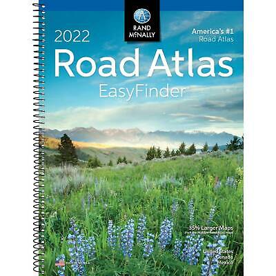
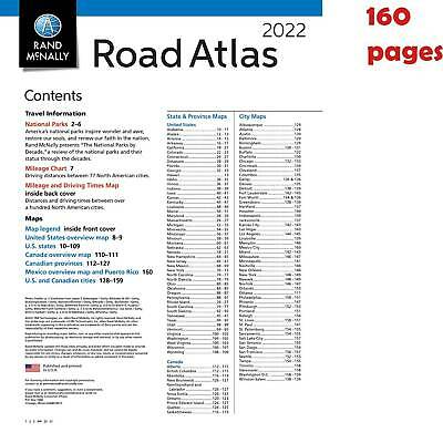
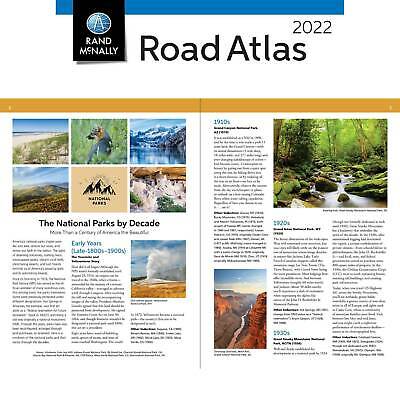
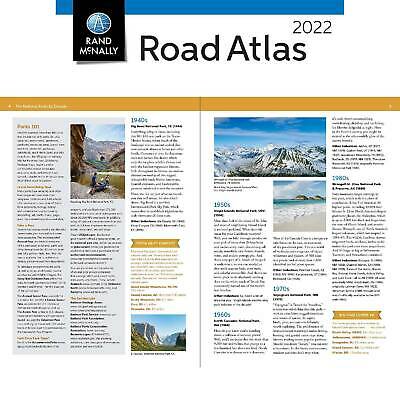
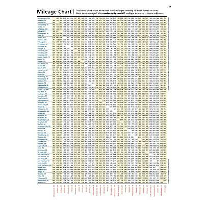
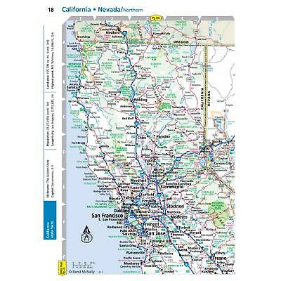
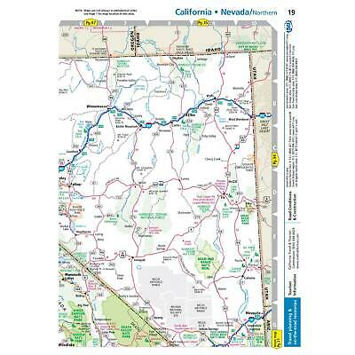
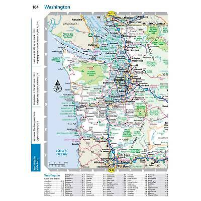
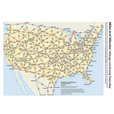
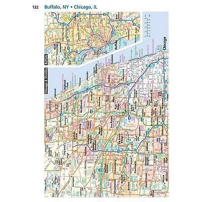
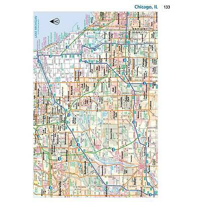
This spiral bound format features maps that are 35% larger than those found in Rand McNally's standard Midsize Atlas. This updated 2022 edition contains maps of every U.S. state and Canadian province, an overview map of Mexico, plus detailed maps of over 50 North American cities, all conveniently packaged for travel. Includes a mileage chart showing distances between 77 cities and national parks with driving times map. Spiral binding allows the book to lay open easily. Other Features: Rand McNally presents The National Parks Decade, a review of park history that begins more than a century ago, with the first wild and wonderful place to achieve park status---Yellowstone. Road construction and conditions phone numbers and websites. Tourism websites and phone numbers for every U.S. state and Canadian province on map pages. Spiral bound. Dimensions: 8" x 10.8125"
Shipping
Returns
Payment
Shipping
Shipping is FREE to all addresses other than APO/PO boxes in the lower 48 states. All our stock ships from US-based warehouses. Shipped via USPS or UPS (depending on location and package weight) Unless stated otherwise, all orders will ship within 24-72 hours of your payment being processed. Check our feedback to see the great reviews of FAST shipping we offer.
Returns
As our valued customer, we will do our best to make sure the product you receive arrives to you on time and as expected. If you are not satisfied with your purchase, please contact us within 30 days of receiving your order to process a return.
Payment
We currently accept payment via PayPal only. Once payment is cleared, we will dispatch your shipment within 1-3 business days. Please refer to the "Shipping" tab for more information regarding shipping speed to your destination.
