-40%
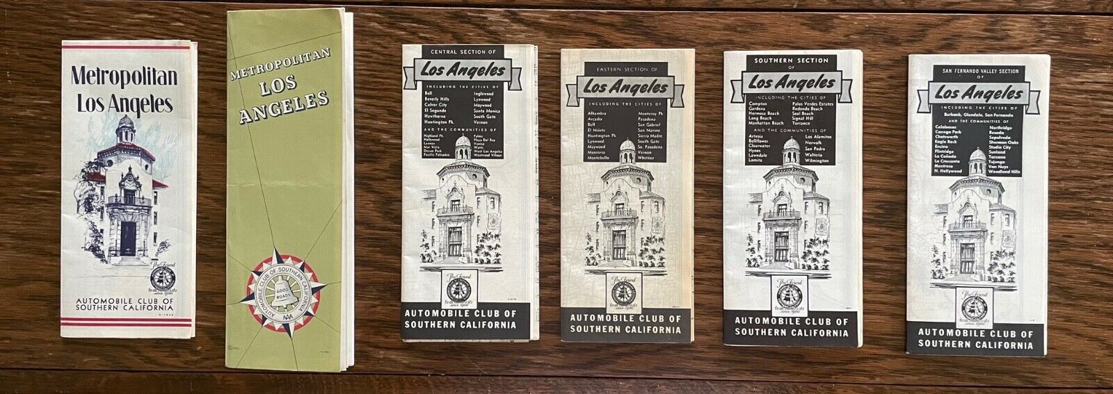
Six Vintage (early 1950s?) Street Maps of Metropolitan Los Angeles
$ 23.76
- Description
- Size Guide
Description
These six maps are a glimpse of what the Los Angeles area was like many years ago, before Interstate 5 was built in 1957 along the path of Highway 99 shown in these maps.The maps were put out by the Automobile Club of Southern California. They are not dated, but they all have codes
Four of the maps are broken down into very specific sections of L.A. The sections and corresponding codes are as follows:
—San Fernando Valley (Cover #418 Map #1884)
—Central Los Angeles (Cover #6746 Map #1813)
—Eastern Los Angeles (Cover #186411 Map #1956)
—Southern Los Angeles (Cover #1347 Map #1930)
Also included are two other L.A. maps:
—Metropolitan Los Angeles (Cover #C-1643 Map #1235)
—Metropolitan Los Angeles (Cover #C-1756 Map #1235
All six maps are in great shape and would be ideal for mounting and displaying.


