-40%
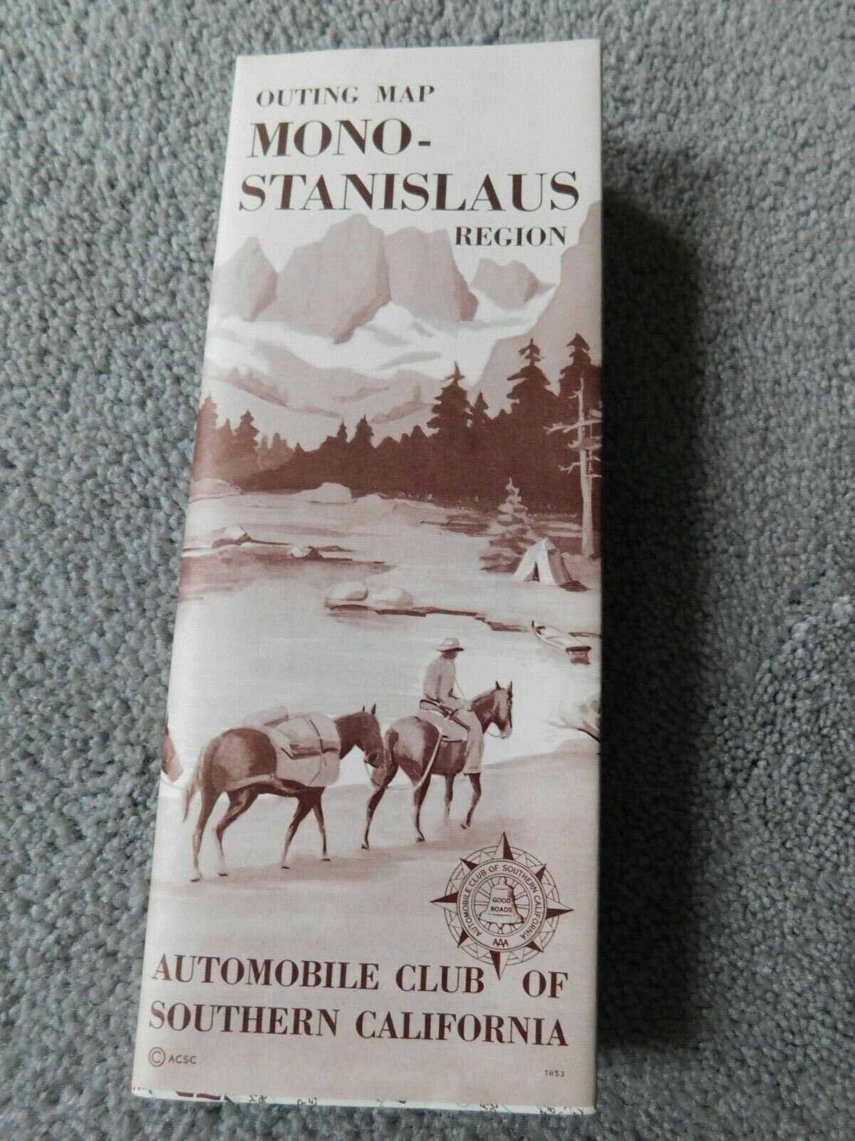
Stanislaus Nat'l Forest & Mono Lake Vintage 50's Map - Auto Club of SoCal #1853
$ 5.28
- Description
- Size Guide
Description
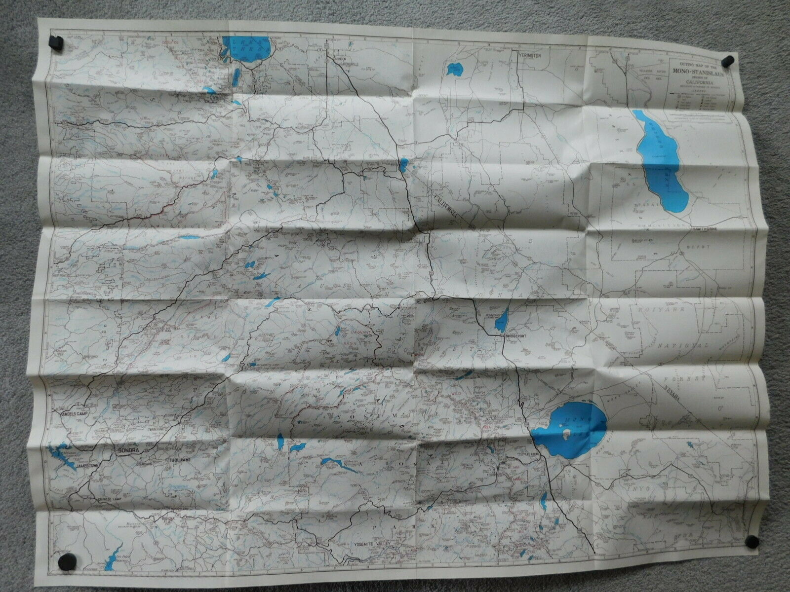
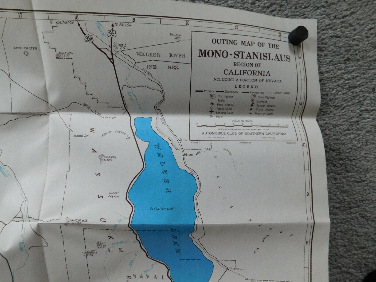
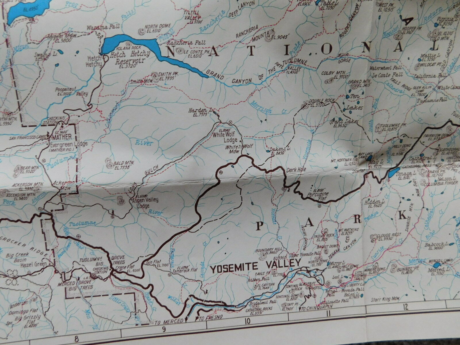
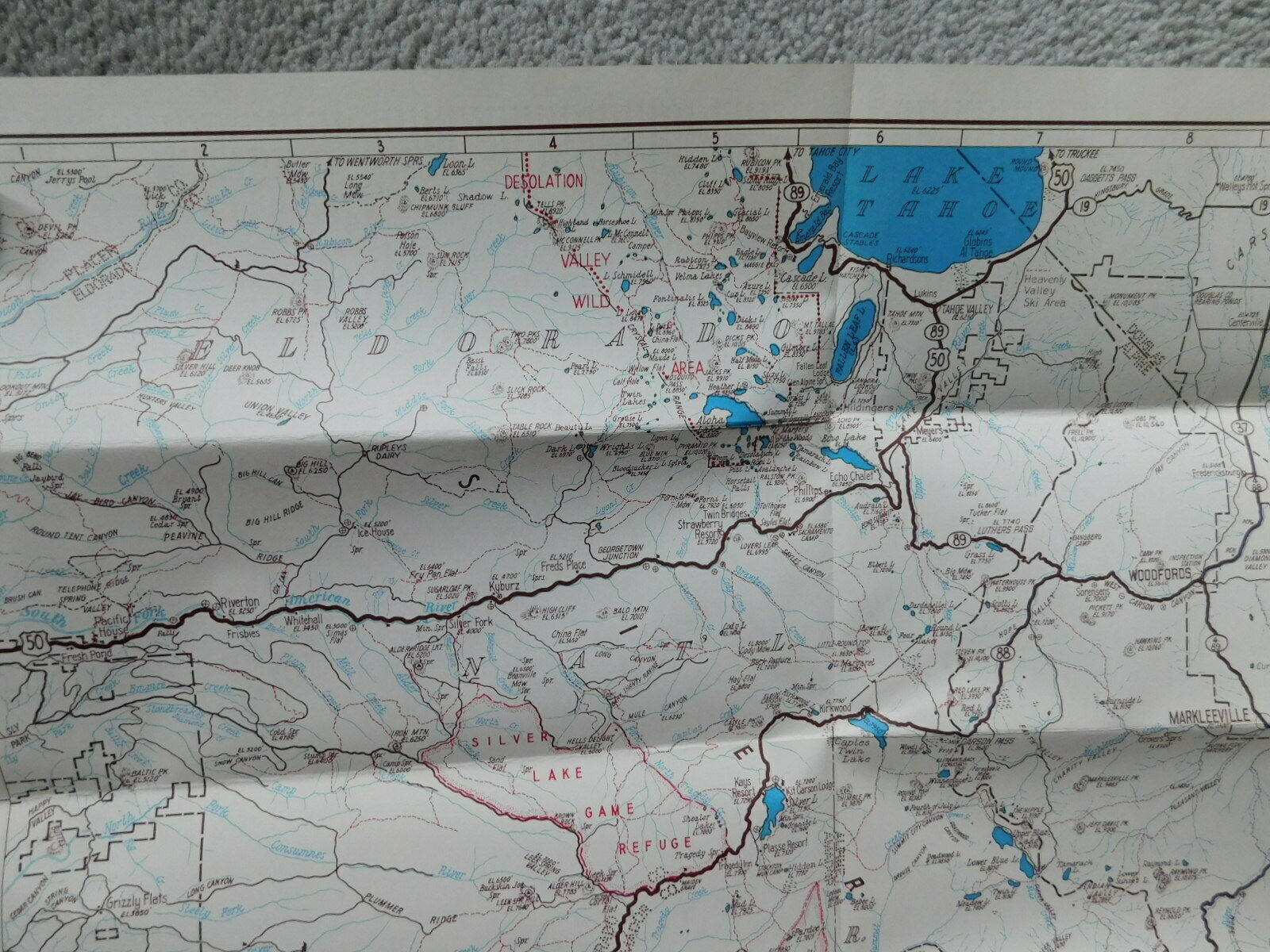
This is called an "Outing Map" for the Mono-Stanoislaus Region. The Automobile Club of Southern California made several of these types of maps. They had great maps of the back country with informational sections on the other side.This Map is:
Map is not dated however I date it to before 1957 when the construction of I-80 began. This map only has State Hwy 40 which was replaced by the interstate.
Size is apx 28" x 37"
Main map is from Lake Tahoe in the north and the northern part of Yosemite National Park to the south.
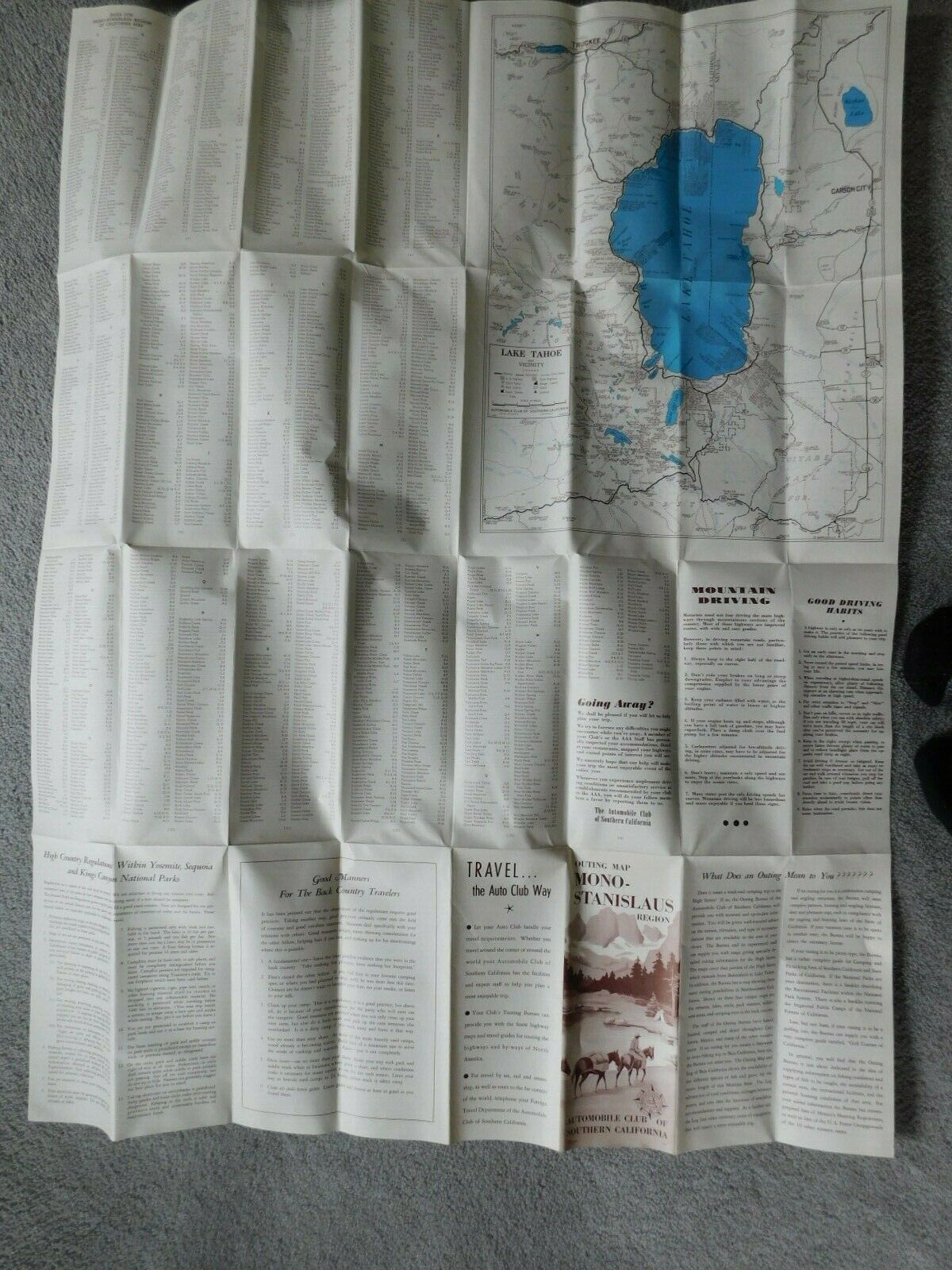
Insert map on reverse is a close up of Lake Tahoe from Truckee to Woodfords.
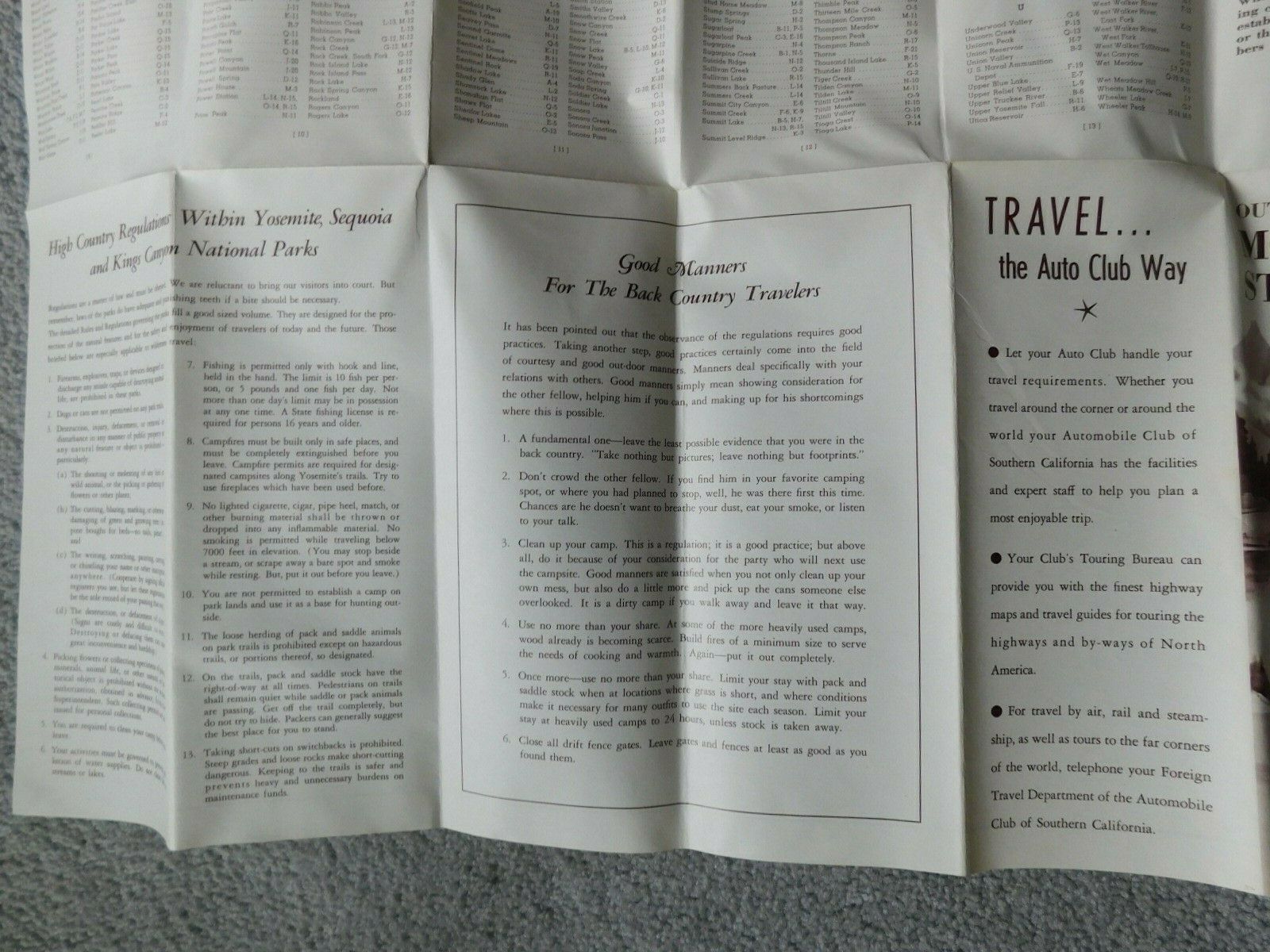
High Country Regulations for Yosemite, Sequoia & Kings Canyon Natl Parks
Good Manners in the Back country
Map Index of lakes, points, passes, peaks etc.
Mountain Driving and Good Driving Habits
Lastly.. "What is an Outing?"
Take this great map home and use it for your next "outing to this beautiful area. Do your own now & then trip and maybe even turn off the GPS. Plus you can help me save ephemera from the trash bin.
