-40%
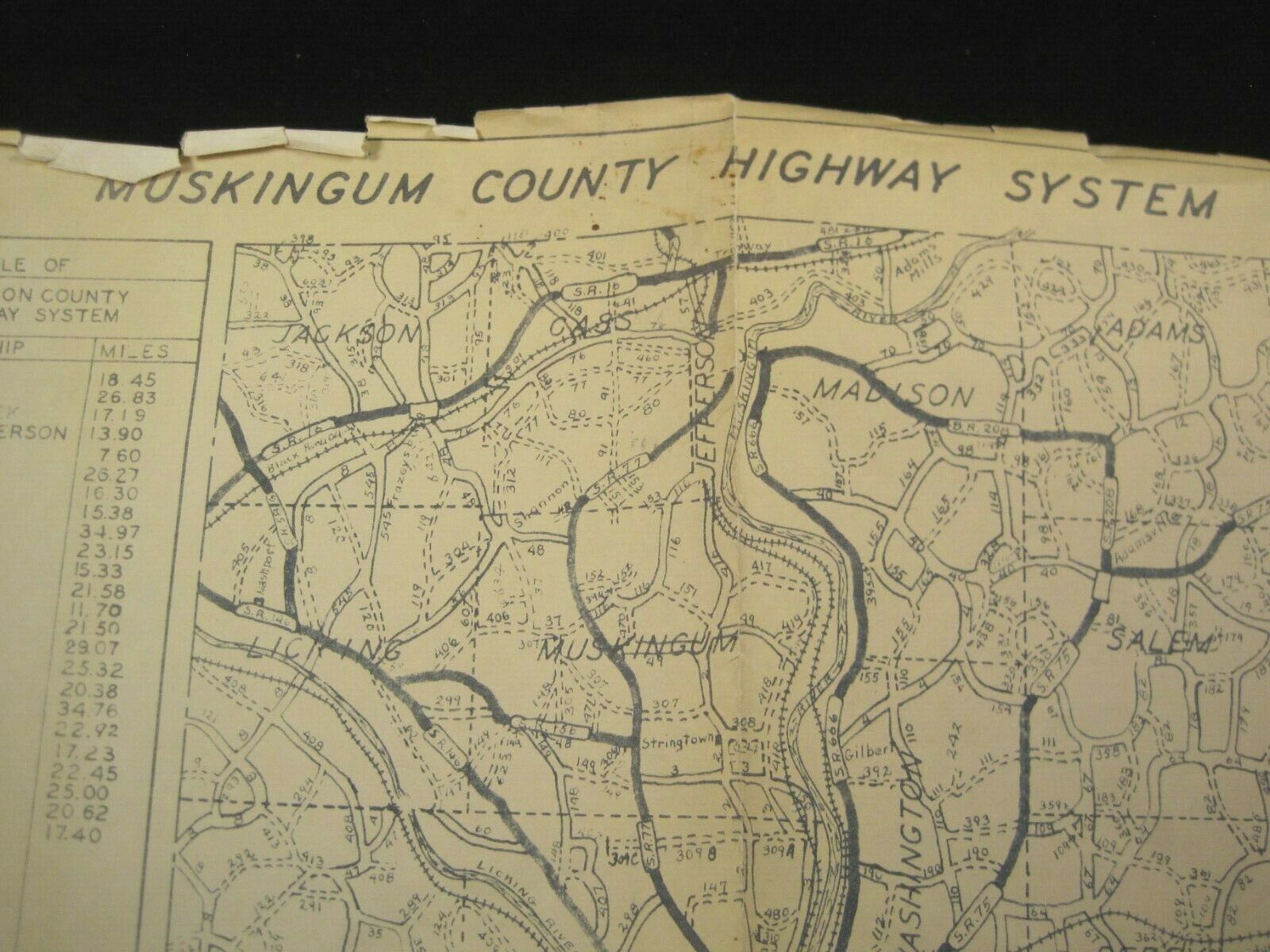
Vintage 1949 Muskingum County Ohio Highway System Map 20x16
$ 2.64
- Description
- Size Guide
Description
Vintage 1949 Muskingum County Ohio Highway System Map 20x16. Edges tattered. Folded in sixths. Approved by the Commissioners of Muskingum County in 1926, but revised in 1949.Please see photos for condition and details. Contact me with any questions before you purchase. I ship using USPS First Class Mail the business day following payment unless you request Priority Mail. I package items carefully to prevent damage during shipment.


