-40%
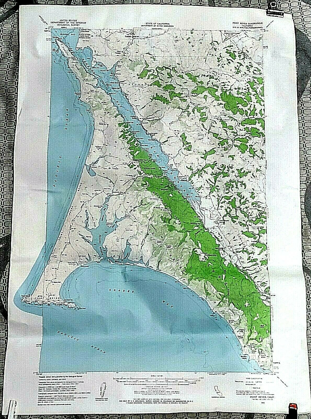
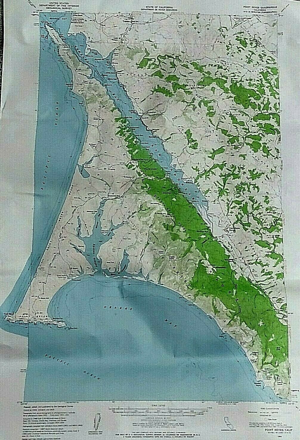
Vintage 1954 California Coast USGS Topo Map Pt. Reyes Bodega Bay Quadrangle EUC
$ 12.67
- Description
- Size Guide
Description
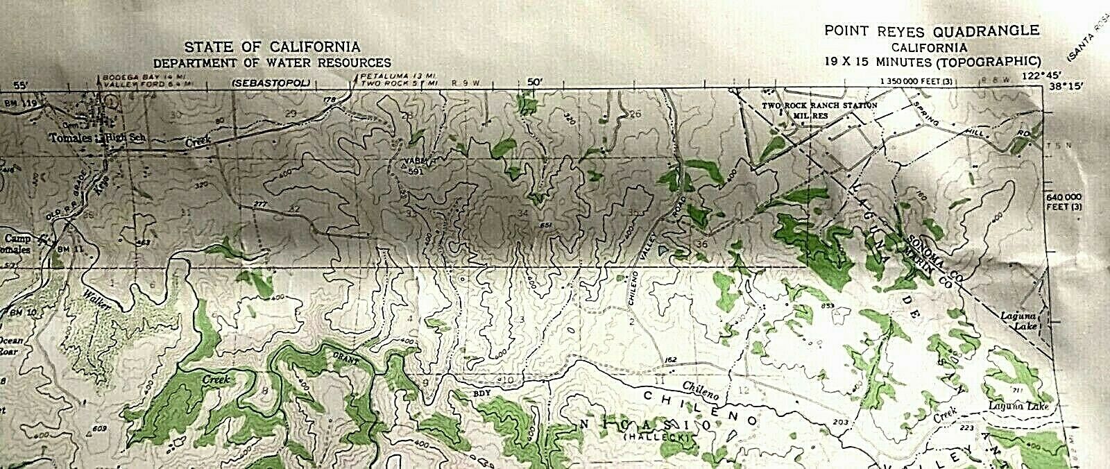
An auction! For sale to the highest bidder is a:Vintage 1954 USGS (United States Geological Survey) Topographical Map of the Point Reyes California Quadrangle. Map is 26 inches tall and 18 inches across, with a Contour Interval of 80 feet. It is in Excellent, gently pre-owned Condition with a some minor, reversible creasing.
FREE SHIPPING WITHIN THE UNITED STATES!!
ABOUT THIS MAP:
USGS Point Reyes California Quadrangle Topographic Map
26" X 18"
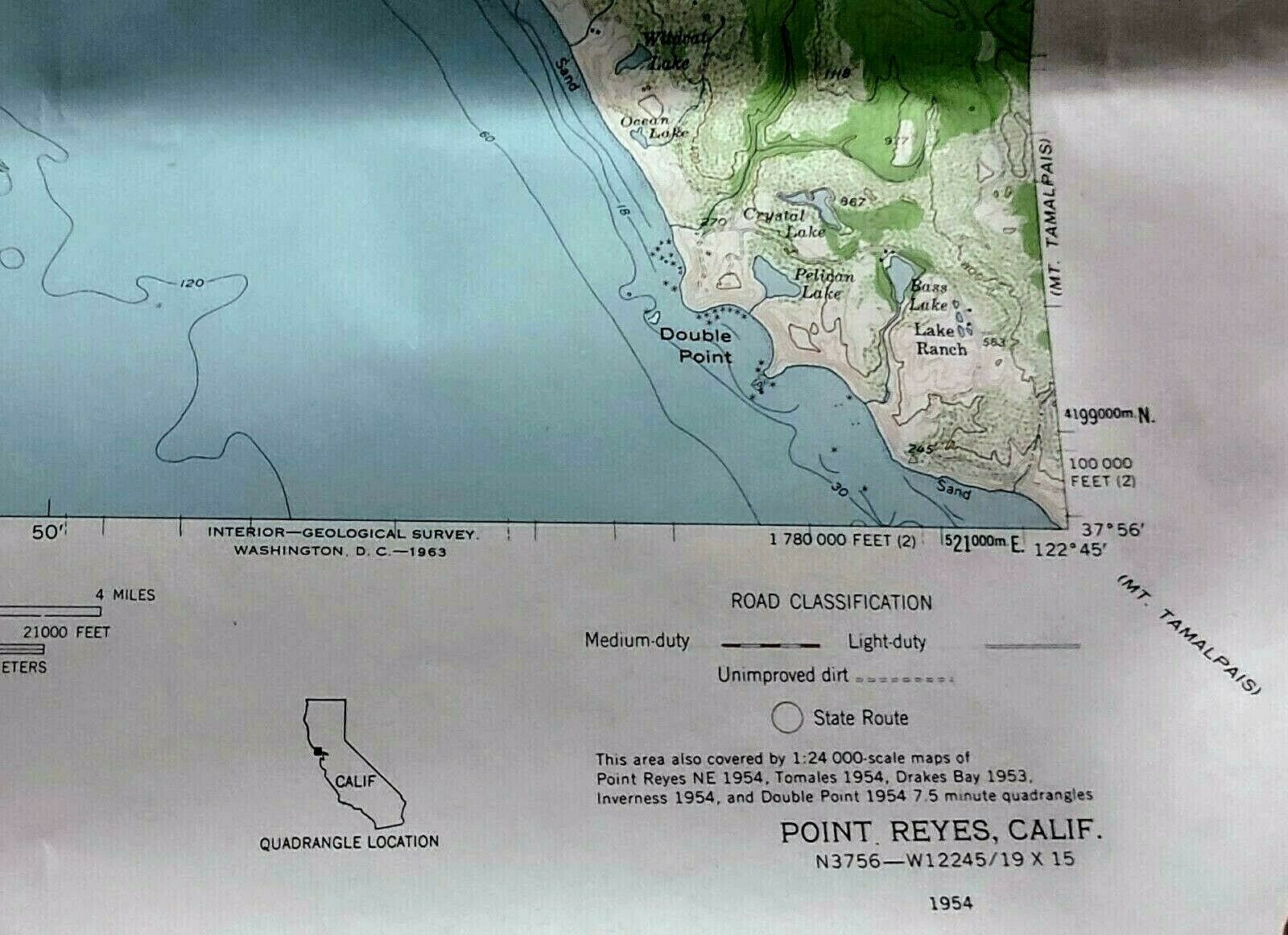
19 X 15 minutes
Polyconic projection
Surveyed and printed in 1954
Revised in 1958
This quadrangle stretches from Bodega Bay in the North, down past Point Reyes on it's Southern edge.
It is the central California Coast.
FEATURES THE FOLLOWING ATTRACTIONS AND AREAS:
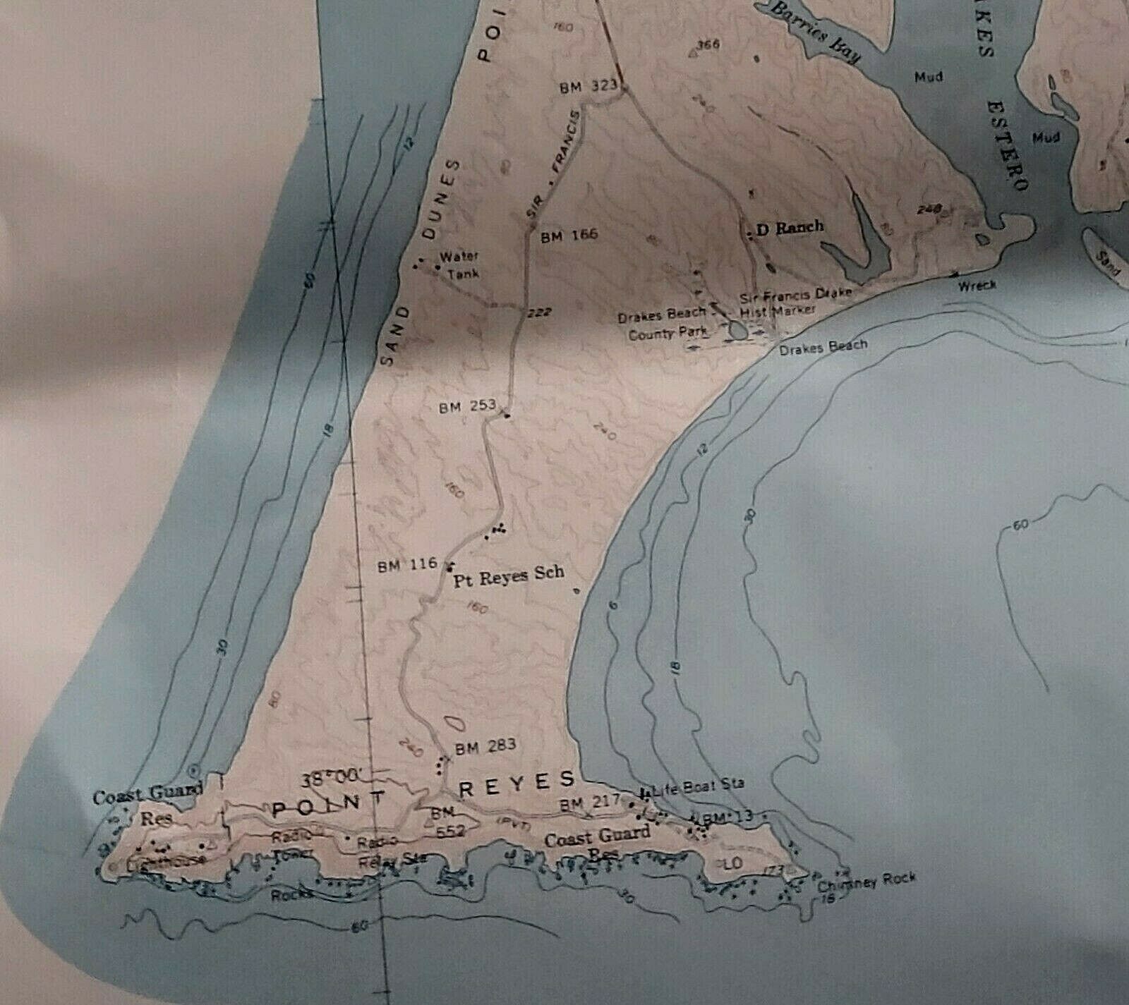
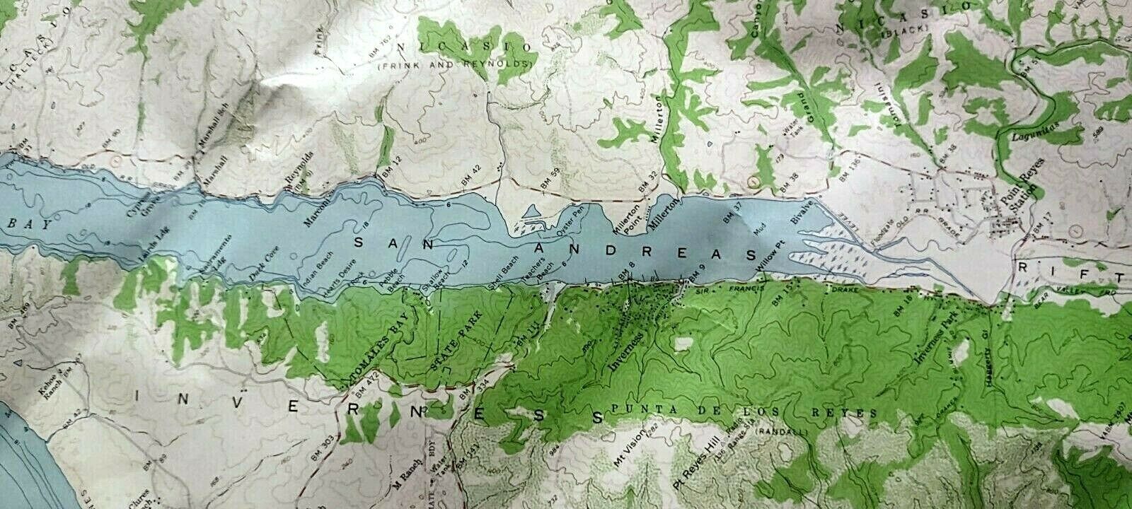
Point Reyes National Seashore, Pacific ocean, Drakes Bay, San Andreas Rift Zone, Abbotts lagoon, Punta de Los Reyes, Iverness, Tomales Point, Tomales Bay, Bodega Bay, Dillon Beach, Black Mountain, Mt Wittenberg, Millerton point, Marconi, Reynolds, Cypress Grove, Preston Point, Sonoma Co., Marin Co., Double Point, Wildcat Lake, Ocean Lake, Crystal Lake, Bass Lake, Abalone Point, plus more
SPECIFICS:
Topography from Aerial photographs by photogrammetry methods
Aerial photographs taken 1952, field checked 1953-1954
I like to ship maps safely rolled in a hard cardboard mailing tube.
This listing is covered by a 30-day free money back return policy.
Thanks for checking out the listing!
Please let me know if you have any questions.
